Stottesdon-Highley
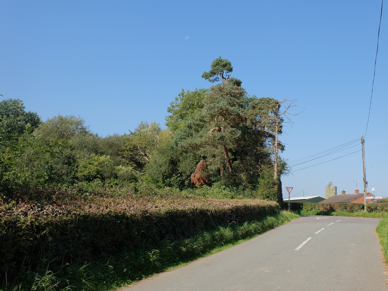
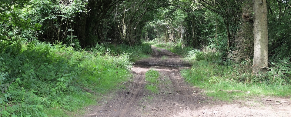
This walk is mentioned as a possibility by Wayne Smith in his smashing little book “Drovers’ Roads of the Middle Marches” but little was interesting from a droving point of view – except the pines that greeted us on the way to Stottesdon (#1). But it was interesting for other reasons.
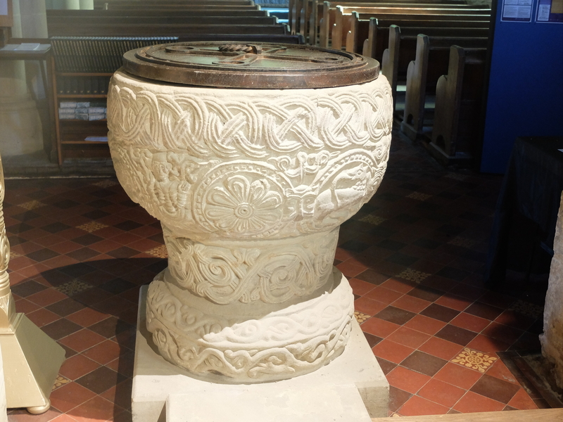
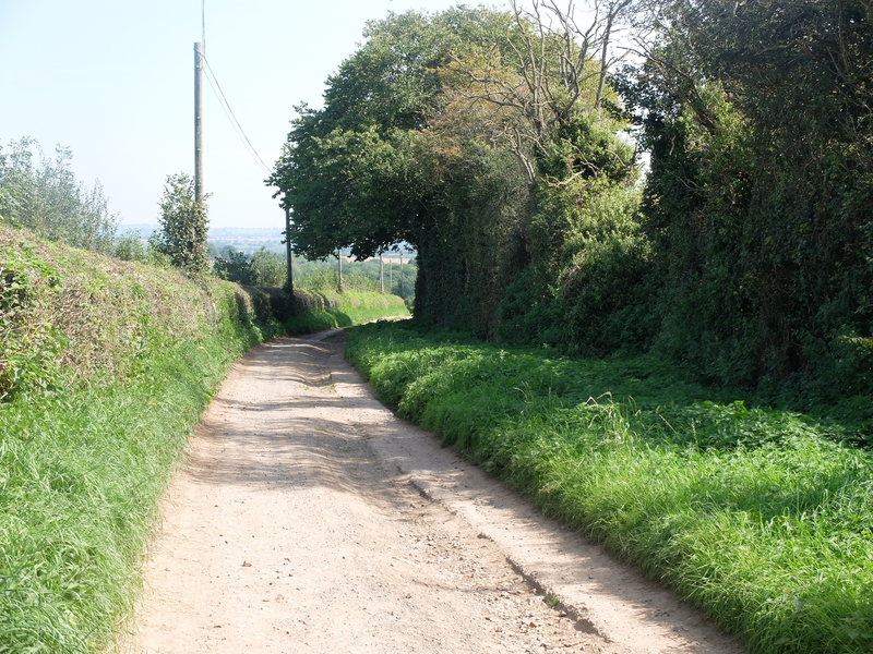
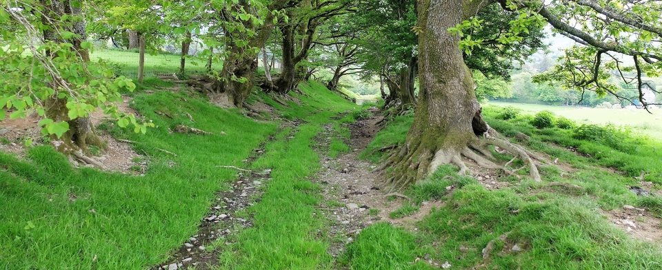
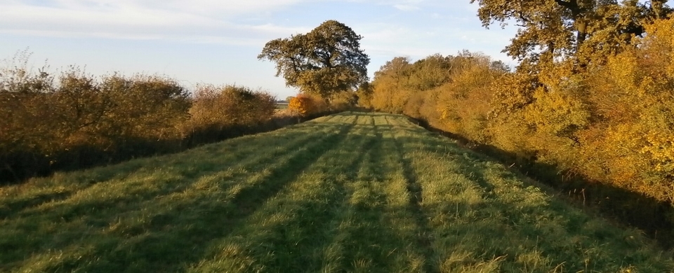
Stottesdon Church was number one. An intricately-carved Norman font (#2) and, and behind the organ the tympanum with carved figures that might be lions or dragons (according to whether St George or St David held the sword). The walk along Jack Mytton Lane towards Chorley after that had some lovely stretches (#3); I took a photo of Harcourt Farm with its Yew Tree but omitted to take a photo of Lower Harcourt, an ancient monument of far greater importance. We only noticed the Gothic lettering on the map after we’d passed it.
Lower Harcourt (693828) is a 15C Petit Manoir, whatever that is, and owes its present state entirely to the Revd William Story and his archaeologist wife who restored it from the two labourers’ cottages it had been to a Historic Monument in 1967. Named “Hautescote” in the Domesday Book – Hawker’s Cottage to you & me – it has an inglenook fireplace [obviously], wattle & daub [ditto], mason’s marks [yawn] and then, much less of a yawn, a small (priest?)-hole dating back to the Civil War.
And I never looked at it twice. Only saw the gothic letters two hours later, but thanks to the Birmingham Daily Post of Feb 17th 1979 for the info.
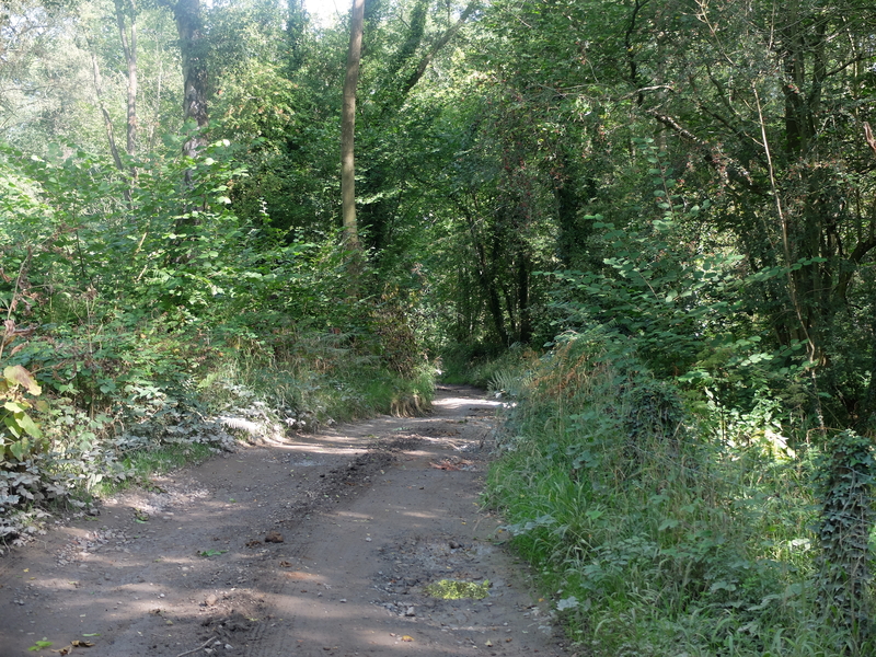
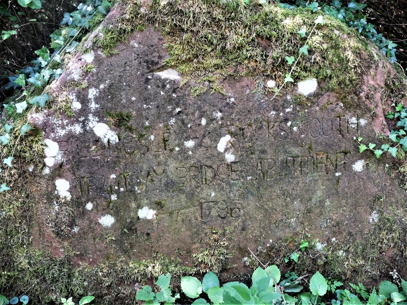
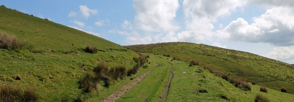
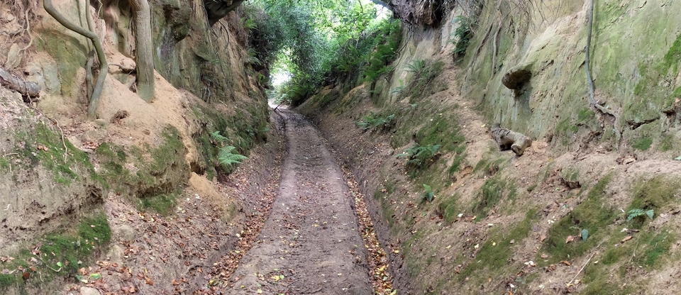
Back on to the road, which becomes more primitive with every step (#4), until we came to a milestone (MS at SO 725837) which isn’t a milestone at all; it’s a commemoration to the building of the “BILLINGSLEY & BROOKSMOUTH PLATEWAY BRIDGE ABUTMENT 1796” (#5). So, it was built to support (ABUT) the bridge of the PLATEWAY (= railway, tramway) apparently to carry coal mined in nearby Billingsley to the Severn. Sir William Pulteney, the MP for Shrewsbury who owned the mines, would have preferred a canal but the adjacent land was owned by William Lacon Childe, who objected fiercely to this idea and possibly canals in general. The history of the squabble and the building of the plateway is described in Roger Farnworth's description of the Railways around Bridgnorth, Part 1, and it's a very good read.
ADDED: The Stottesdon route has just become much more interesting because a Little London the other side of the Severn proves it almost certainly was a drovers' road. In which case there was a crossing just south of Highley... We have now been shown that crossing by a farmer who has used it. More news on that will appear on the tab below...