Tuddingway (1)
(aka Tuddingweie, Cromersh Way, Tiddgin Way, Crowmarsh Way, Tuddingwaye, Totingway, Tidgin Way, Tidging Way, Tudgingsingway, Stichen Way…)
A herepath (Anglo-Saxon Military Road) following the left bank of the Thames from Crowmarsh Gifford down to Caversham, near Reading: an old weg – possibly as old as Alfred’s time – that later became a packhorse trail and a drovers’ route.
We did the walk in two stages, with a night in Goring halfway, and returned to Wallingford by ferry. It was a terrific trip. I suppose you could manage the walk in a single day, but we travel slowly because of our insatiable curiosity, not just old age. Well, that’s what we kid ourselves.
(The route is described in 1479 as …Wallingford via Bacon Lane [?]1 to Mongewell Court, North Stoke, South Stoke, Gatehampton, Whitchurch, Mapledurham, Caversham Bridge & Reading.)
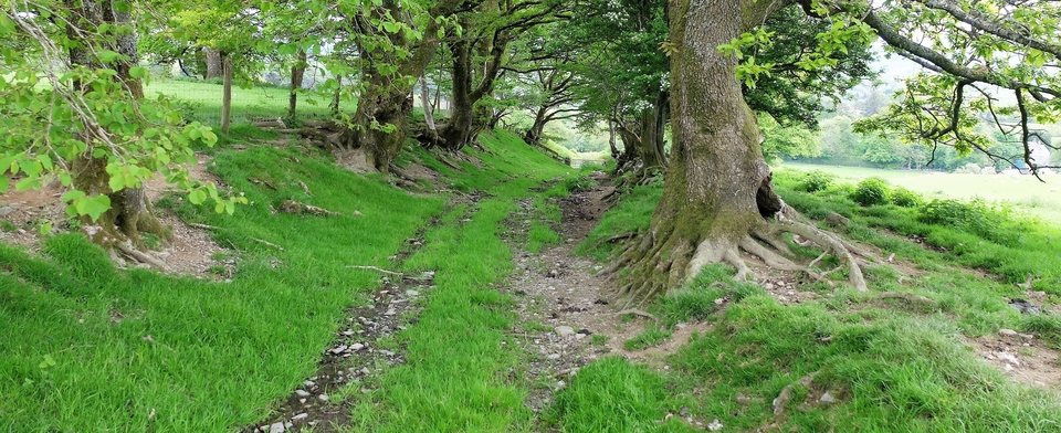
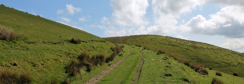
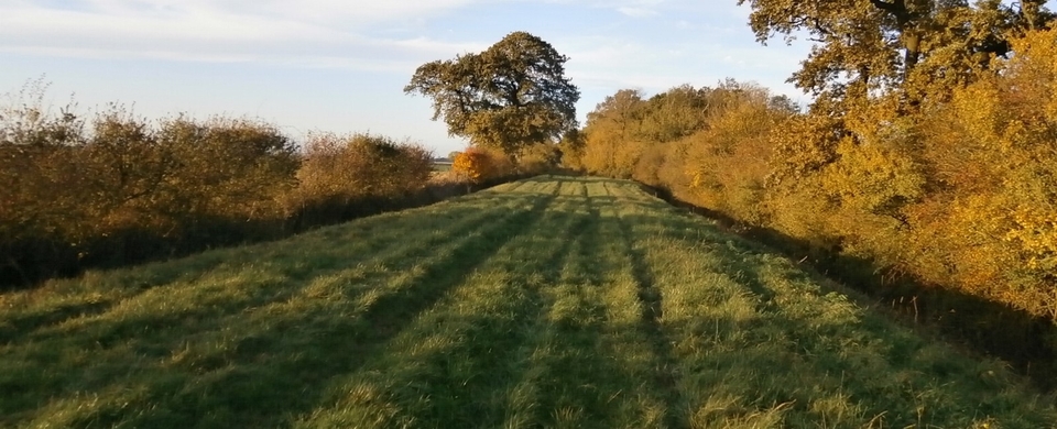
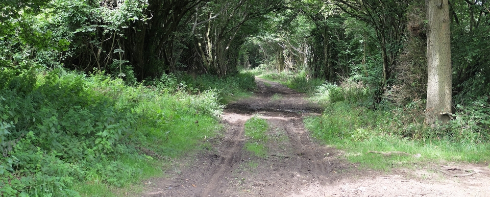
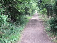
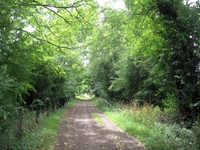
We started opposite Crowmarsh Gifford Church (SU 615893) but my picture #1 does not include the beautiful Norman doorway as I had no idea it was there. Anyway, the track (#2) started full of promise, with the double hedge only occasionally disappearing.
We passed to the right of Newnham Church, below Newnham Murren, a mediaeval deserted village, and (apparently) over Grim’s Ditch – but the map makes no mention of it. Another piece of ancient history: the Anglo-Saxons attributed any unexplained earthwork to Grim, an equally mysterious figure. He appears all over A-S England but none of ‘his’ earthworks are remotely connected. This particular GD was referred to as “The Old Way” in 966AD, which makes it all the more mysterious.
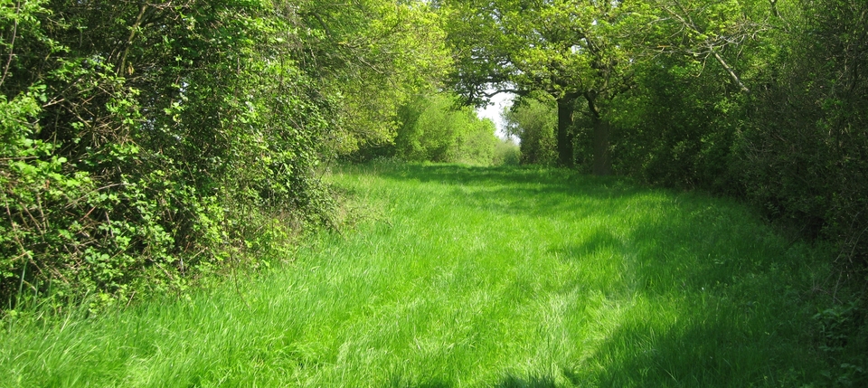
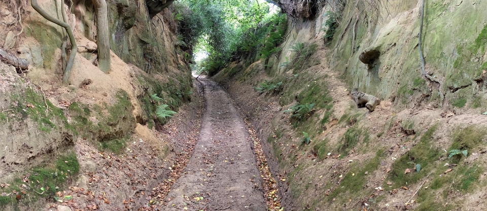
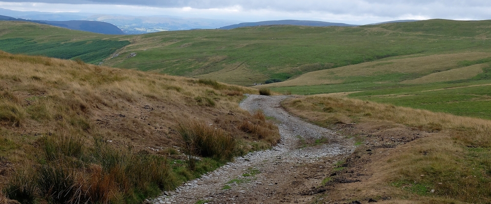
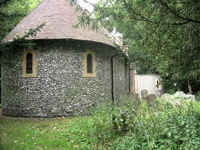
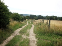
Next stop: Mongewell. The church is largely ruined, but this little chapel is beautiful (#3) and the stonework reminds me of Norfolk churches. And it was a day to die for (#4). So we walked through the High Street of North Stoke, chewing sandwiches, and on our way to Little- and South Stoke (5).
1 The term Bacon Lane was still being used in 1740. My thanks to Pat Preece for so much of the content of this article.
