The Old Shop
In the Bulls Cross article I showed a map mentioning “The Old Shop”, hidden the other side of a wood in the middle of nowhere. We were intrigued and began guessing what it sold and who to. The obvious answer sprang to mind, which The Stroud Local History Society assures us is (probably) correct...
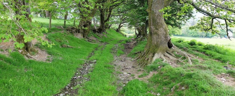
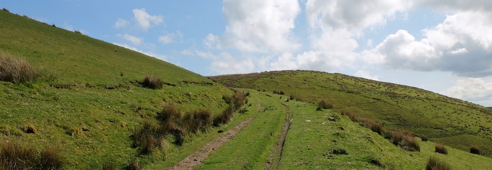
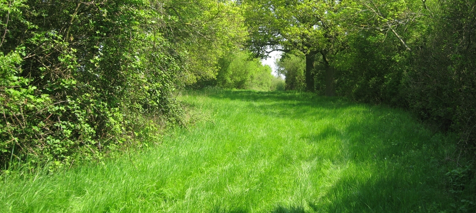
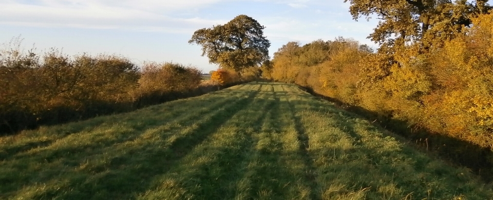
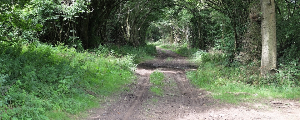
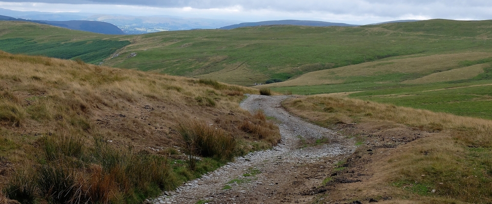
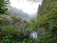
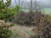
The walk starts near Bulls X at SO 878088 (#1) and quickly becomes a steep path down to a lake (#2), a lake unmapped by NLS, as far as I can see. (The lake is quite near the unfortunate hangman’s cottage, also mentioned in the Bulls X article. But we never saw it.) Take the right fork before the lake and climb a cripplingly steep path into Downwood North Bank and you’ll come to a “major road” crossing the path. Opposite you will see a small gap in the wall leading into an open field (#3). There’s also a Laurie Lee Wildlife Way post just inside the field.
Before we carried on through the gap, we met Michael Bullock, who works for the Estate’s various owners. We could have chatted most of the afternoon, because he had many tales to tell – including the hangman’s story told in Bulls X – which made the walk so much more pleasant. He also forwarded us some treasured historical photos, including a picture of ‘leggers’ taking a boat through a canal tunnel while the horses went over the top. Thank you, Mike, for everything.
OK, so through the gap at length and down the hill to the shop...or what we thought was The Shop; it’s a building in ruins, SO 889085, at the bottom of the hill before woodland begins again. I have not included a photo because it wasn’t our destination at all. There’s a moral here somewhere – like, always refer to the NLS 6” 1880 before you assume anything historical.
(Btw, in case you haven’t come across these online maps, free for anyone to use, please try them: go to National Library of Scotland Georeferenced Maps and put in a modern placename; select the map you want – and then, for a treat, move the blue button to the left and you’ll see the place as it is now. Bit of a miracle, that. The exact map reference of the cursor, to 6 decimal places, is on the right. More miracles.)
Well, having seen what we thought was The Old Shop, we turned and headed back to Wales, Glos. forgotten. As soon as the mistake was uncovered at home, we revisited the area – thank Heaven, from a different direction. (I’ll explain the “Thank Heaven” later.)
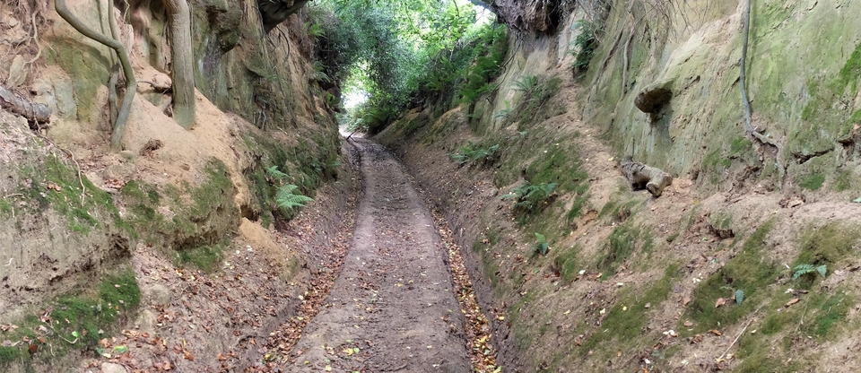
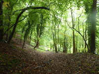
So, where am I? I think, about to enter the beechwood at 889085. And weren’t those majestic beeches glorious? (#4) The autumn this year has been a treat – if you forget, for a moment, the causes of it....
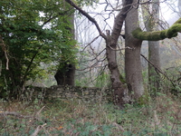
And so at last to The Old Shop (#5). It’s fenced with barbed wire, as if there’s precious stock to be stolen; it’s in a Nature Reserve; there are Autumn Gentians, apparently, and the grass is littered with anthills. Also it was silent, except for the occasional cronking of the ravens. And that’s it...
....except that I emailed the Stroud Local History Society to ask them about the shop...and Pauline Stevens replied almost immediately; she also quotes from a blog by Amanda (a glass artist):
Onward and upward, I locate the ruins of 'the Old Shop' - four low, broken walls, one of which has a tree growing out of it. The [Nature] reserve leaflet says the old shop supplied bread and (coyly) ‘other, more colourful services’. According to Patricia Hopf, it may also have been an aleshop and a brothel.
The Dillay Brook runs through a beautiful valley below the Old Shop; useful for the brewing of ale. Maybe some bread was baked to keep hunger at bay – it was a bakery in the 1890’s, but (presumably!) nothing else. The rest I leave to your imagination.
And the customers? The good – well, not that good – people of Slad, possibly; but FAR more probably, the cattlemen – the drovers, of course!1
We returned by walking across the Dillay and through Snows Farm. A round trip for once.
Thank you so much, Pauline Stevens, for that fulsome reply.
(I said I would explain the Thank Heaven seven paras up: that’s because we crossed the King Charles Way en route from Slad. Christine’s eyes lit up like beacons: “That’s the route the drovers used...” So we’ll return!)
1 I’m reminded of the village of Priors Marston, Warwicks, where the drovers’ inn was highly successful until a brothel was built next door, closer to the drovers’ route..
