The Old Brackley Road
I was sent an academic paper last December: “Historic Routes in the Cherwell District, North Oxfordshire” by Philip Masters & Sally Stradling.
It was interesting all the way through, but became intriguing on page 16 when the authors mentioned ‘Old Brackley Road'. I used to live in Brackley, but I'd never heard of it1. So we went to find it.
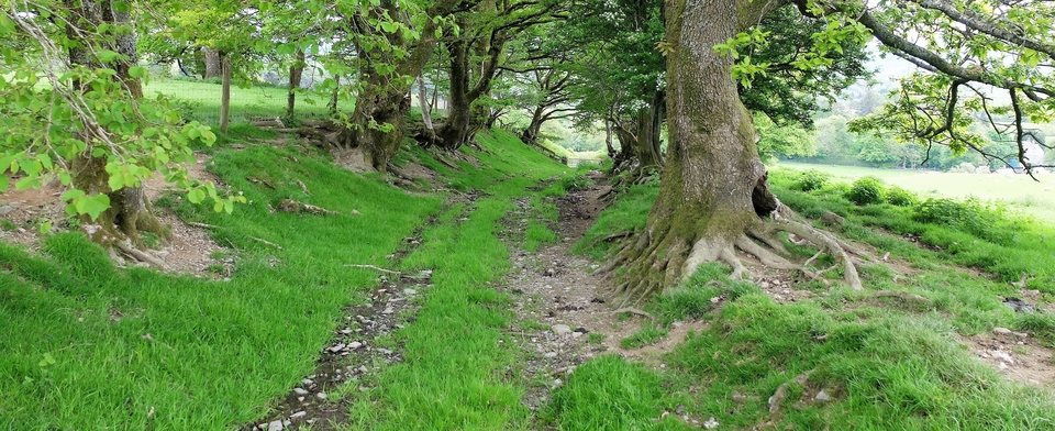
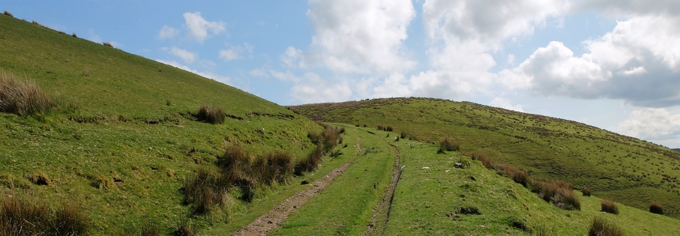
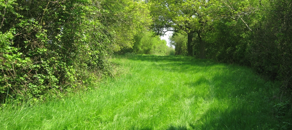
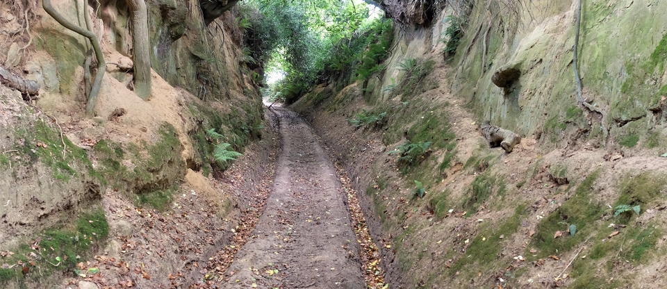
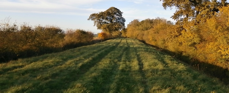
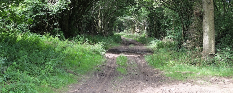
The OBR starts outside Hampton Poyle, near Kidlington, just north of Oxford, at SP 508148 and continues almost due north in magnificent style till it joins the B430 at 531199. A mile of the 2+ mile route is tarmacked but is still splendid and so wide. The green bits make you gasp – and this was February; what does it look like in May, for Heaven's sake? The only disappointment was the litter of wrecked farm machinery, plastic & binder twine in a short half-mile stretch; but the sheer width of it almost made one forget the garbage.
So, why is it there?
Drovers would have used it; medieval armies too - but the wheels of coaches would not have coped with such a boggy area. “Frogsnest Farm” (513165) gives the game away, according to Ann Cole. The prefix ‘Frog-‘ is often found where enough groundwater stayed around in spring for frogspawn to hatch. So the Brackley Road was diverted through Weston-on-the-Green (in the 18th century?) and we are left with a splendid relic that was never turnpiked2.
( 2023: I've just received a message from a fellow-enthusiast who has told me that trees have been planted either side of the green stretch (#1). But he didn't mention the farmer's rubbish, so perhaps it's gone? Anyway, I didn't see any point in putting a picture of it here, so gone it is, as far as I'm concerned.)
1 Different from Brackley Lane, which is on the Home Page
2 But there's a “Tollbridge Corner” at 518181...Perhaps the turnpike trust tried the route before abandoning it.
