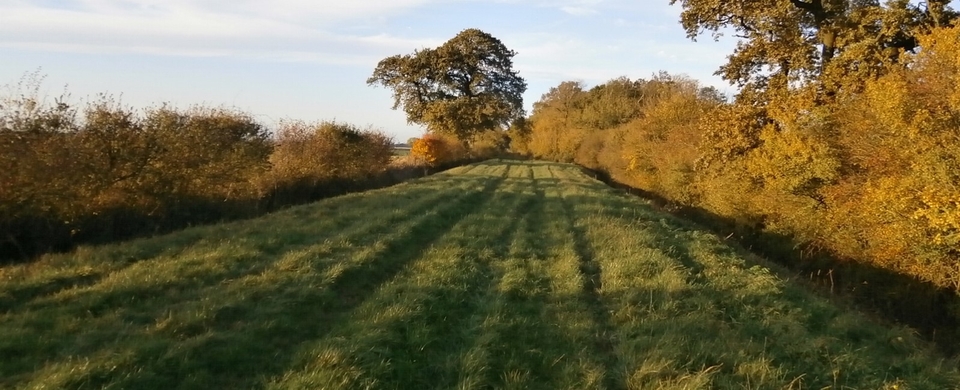
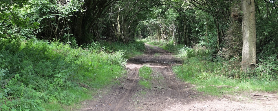
Stockwell Lane, Sulgrave
Each time I look at the Bryant map, I find more roads leading out of Culworth.
One breaks off from the Lower Thorpe Road as a footpath at 544465 (in the hollow) and hits the Magpie Inn from behind. I've had more interesting walks, I admit. Hence no pictures.
Another takes the main Magpie road out of Culworth but breaks off left as a bridleway at 549460, at a fork in the tarmac road, and aims for Sulgrave.
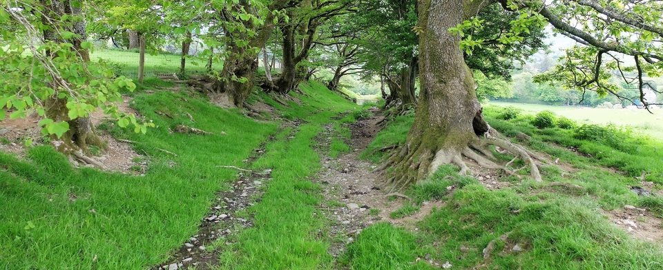
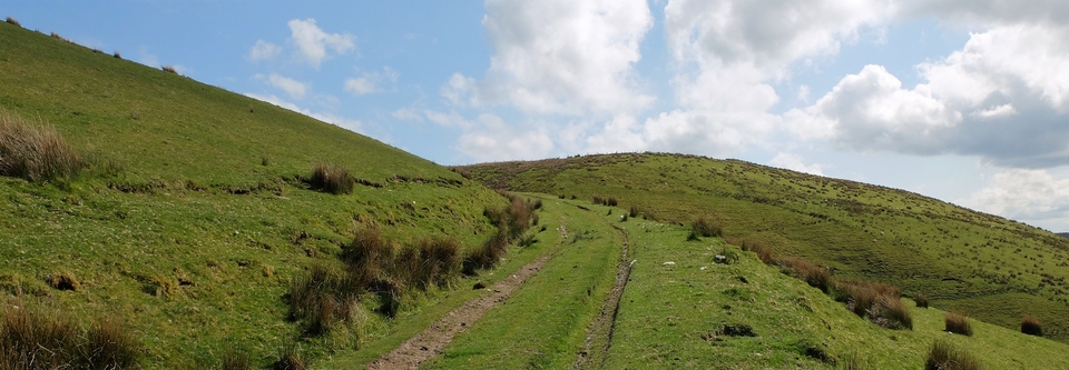
It starts disappointingly, passing the old windmill as a newly-made track: too well-kept and regular for the Welsh who once used it. Then things hot up: I emerged next to the Sulgrave village shop – and found I had been walking along Stockwell Lane (#1 and 2). At last two stories make sense: one is that the streets of Sulgrave used to be filled with the sounds of cattle; the other is that only 60 years ago there was a milestone in the village inscribed "Llandrindod Wells - 120 miles"!
(The shop, which was originally a school, juts out to the left of the clump of trees in #1; the house on the right is obviously modern. I attempted to take #1 from the same angle as #2.)
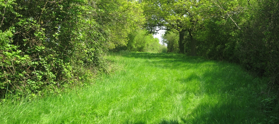
Turning left in Sulgrave for Helmdon, the drovers had a choice: through the old village of Stuchbury to the Welsh Lane; or straight ahead along the ridge road (#3) before turning left at Helmdon on to the Wappenham Road.
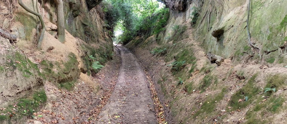
After a mile they would have turned right to Astwell at the fish pond (610445). A sharp left after the pond took them up the hill (#4) to end up in Syresham – after a visit to The Royal Oak, of course (see article above).
Thanks to Colin Wootton of Sulgrave, who manages a superb website www.sulgrave.org, for the old picture of Stockwell Lane.
PS I want to do a feature on Tysoe, near Stratford. There seem to have been extensive stock movements and sales there, but I know nothing more than that. Any ideas, anyone?
