Stewkley
STEWKLEY
Looking back at the various bits I'd written on Buckinghamshire, I realised I hadn't mentioned Stewkley, the longest village in England (1.5 miles from top to toe). Its place name is not particularly inviting: “woodland clearing with tree stumps” according to OUP . Too lazy to finish the job, were they? But it's a cheery place and the church is unaltered Norman. Romanesque if you prefer.
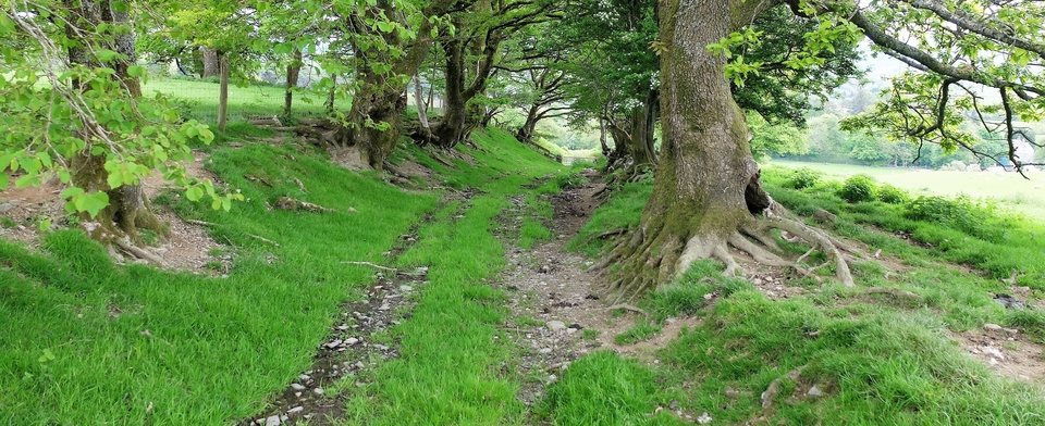
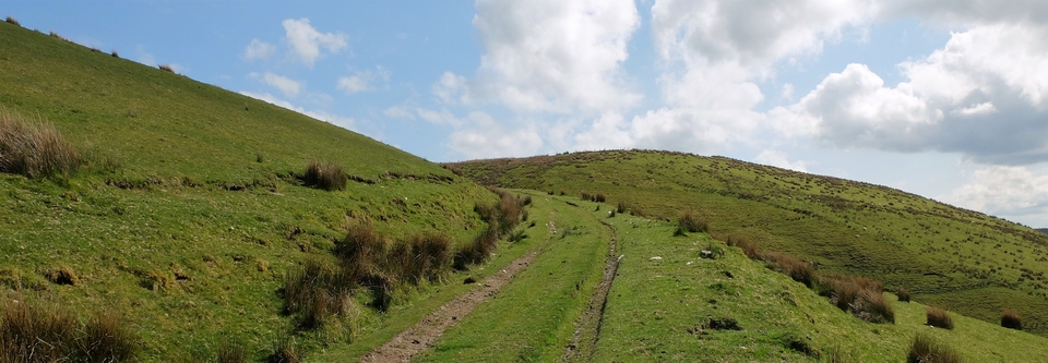
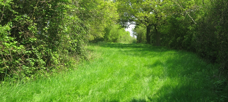
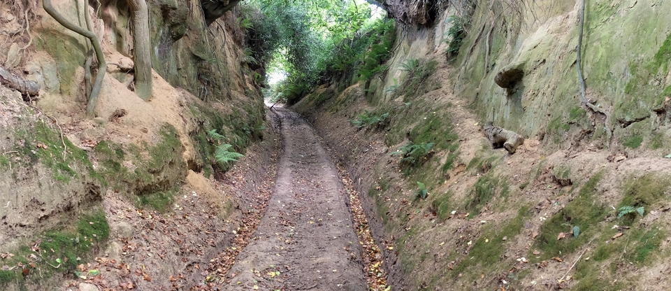
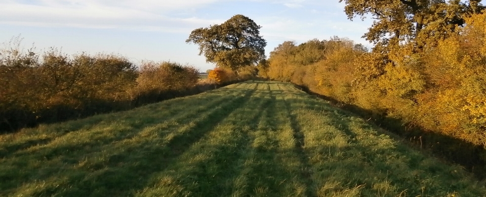
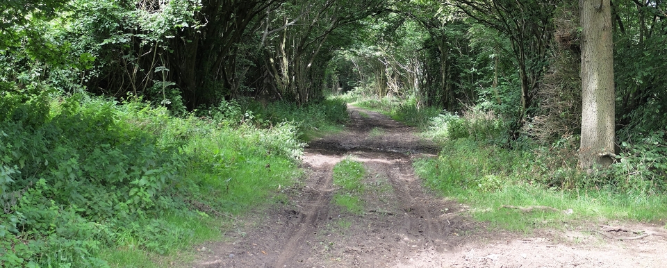
It's also on an important drovers' route that broke off from the A421 Buckingham-MK Road at SP 781323 – there was a road to Little Horwood where the footpath is now – then passed through Mursley (once a town)1. After Mursley it came off the B 4032 at SP 822282 down Stewkley Lane (#1)2, then, after a wiggle or two, crossed Stewkley High Street. On the other side it becomes Ivy Lane, leading into Garner's Lane (#2), a grand green lane which unfortunately peters out after half a mile. But it's on its way to Soulbury and Leighton Buzzard; and thence, of course, to London.
Mr Charles Rowe (born 1845) kept the Rose & Crown (#4) at the south end of Ivy Lane, just east of the High Street at 852262. Interviewed for the Bucks Herald in 1938, he said: "[The Rose] was situated on the old trackway used by Welsh cattle drovers when taking beasts to London markets..." He also remembered a field opposite 'The Rose' where the beasts were thrown & shod4.
At the bottom of the High Street is the label “The City”, sometimes called locally “Up the City”. This route leads to Rock Farm and Southcott, where it was wet, wet, wet. (The Ouzel was constantly flooding.) But the valley was full of good grass in the droving season. Jill Scott – see Note 3 – thinks the lower route came into use only after the railway age had begun.
1 There used to be a pub called The Wrestlers in Mursley High St. It may or may not be drover-related, but there are many tales of wrestling & spitting matches – yes! spitting matches: no equipment required except, I hope, a spittoon – between the villagers & itinerants. It closed in 1922.
2 Stewkley Lane had a Coldharbour for sheltering beasts behind Coldharbour Farm at SP 822275. There's a slip/slipe field for holding stock overnight where the farm meets the road. There was also an important route called 'Smee Lane' coming eastwards from Swanbourne. It meets Stewkley Lane at 828267.
3 The map was sent to me, red lines and all, by Jill Scott of Stewkley, whom I would like to thank for all her enthusiasm & information.
4 The R&C opened in 1753, was rebuilt after a fire in 1887 & closed in the 1920's - according to the excellent survey on the web of Stewkley's many inns (only two of which are still open).
