Scot Gate Lane
Needing a change, we took a bus from Grassington towards Kilnsey, then walked across the bridge to Conistone (SE 982675), intending to go up Scot Gate Lane into the hills, then back to base via the old road to the east of the Wharfe … but the bus left Grassington at 2pm so we reached Conistone at the hottest part of the day.
The Scot in SGL was the interesting part: if Scots drovers crossed the Wharfe at Conistone they’d be on their way to Malham Great Close via Mastiles Lane…
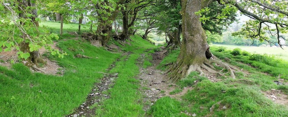
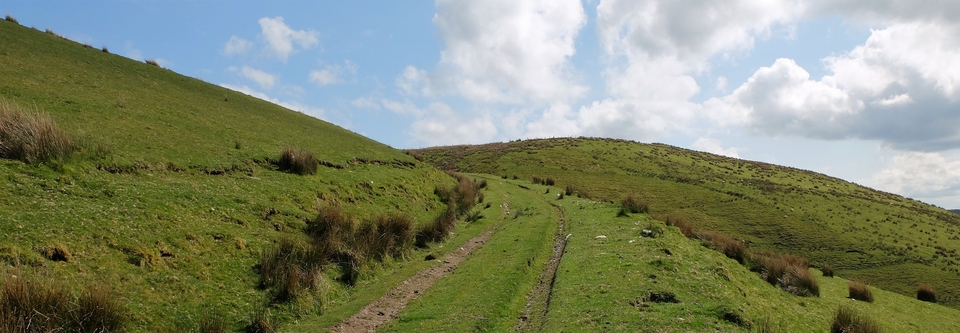
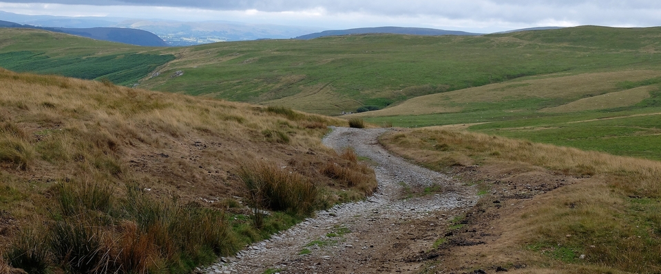
It was mighty hot. All this is, as you have guessed, an elaborate excuse for not going far up Scot Gate Lane before deciding that enough was enough. What we did see was impressive, but those hills (#1) looked daunting. Coming down the (short!) mile was good too, Conistone was beautiful and all that remained was the slog down the old road home.
Why do I call it “the old road”? Because it’s an Ogilby road, one of the hundred that John Ogilby published in 1675. This one is on Plate Number 49 (Oakham to Richmond Yorks, part 2), and the easiest way to access all the strip-maps is via Chris Mullen’s amazing website www.fulltable.com Details below1.
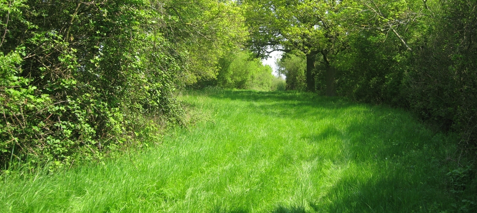
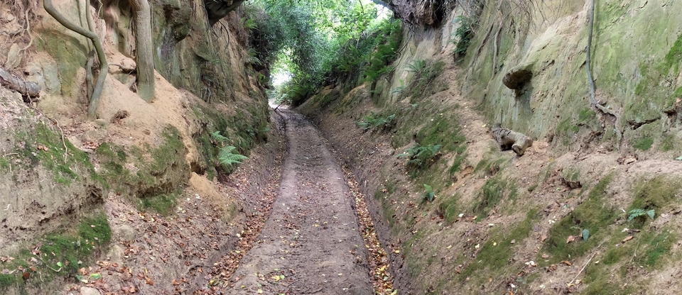
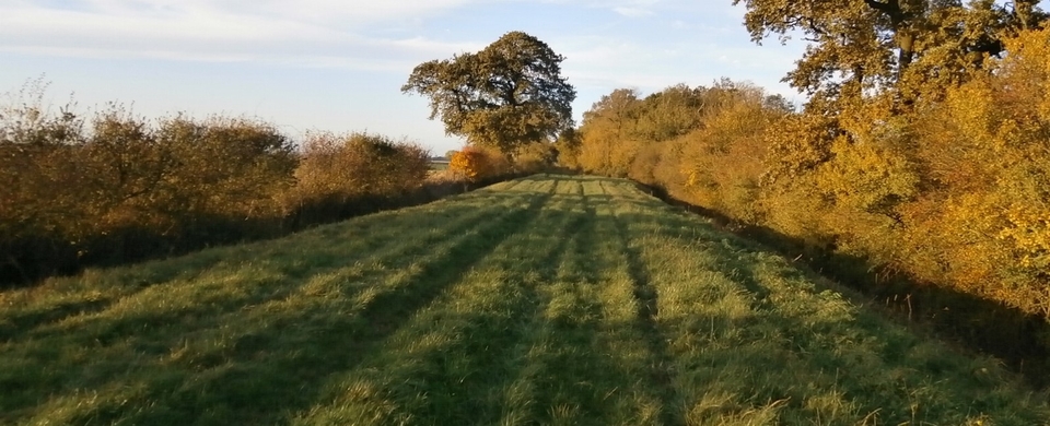
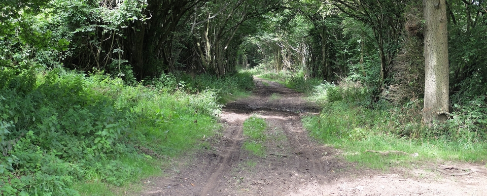
I wish we’d had the energy to go further, but it was not to be. Anyway #2,3 show a small taste of the track.
As for the road back to Grassington, the proof that it had been used by cattle was in the nettles at the side of the road (#4). Nettles like rich soil like that produced by cattle manure.
Otherwise our memorable moment was meeting the proud parents of Eleanor Tomlinson, the artist, who on the spur of the moment did a quick sketch of The Queen with her corgis and Paddington Bear – which went viral and is now being pirated by everyone who’s out for a quick buck. Dear, dear…
1 Press: Enter; Main Menu; M for Maps; John Ogilby’s Britannia 1675; Map 49. In the 5th Column from left you'll see Cumiftone (Conistone) and below that Garsington.
