Oxford Lane - 4
Lapland Farm to Span Green
The complications of Wotton, south-west of the A41, forces you to walk down Kingswood Lane – an excellent way of committing suicide. Despite the word ‘lane', I was told it's a modern road: narrow and dangerous all the way to the railway line at SP 667 162.
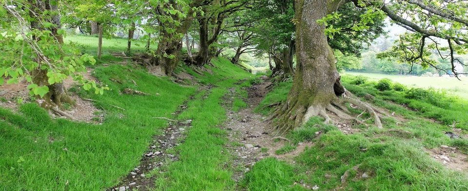
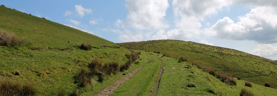
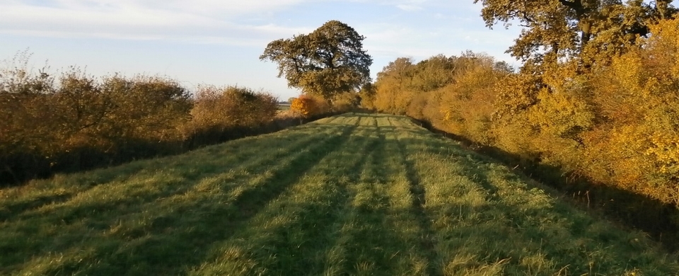
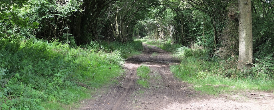
Then there's a minor miracle as the lane widens and becomes green again (Fig.1) from Lapland Farm to Polecross (Fig.2).
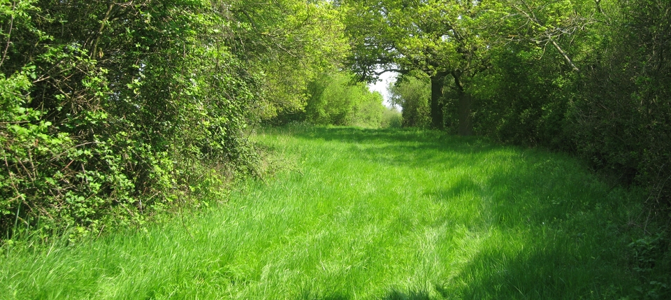
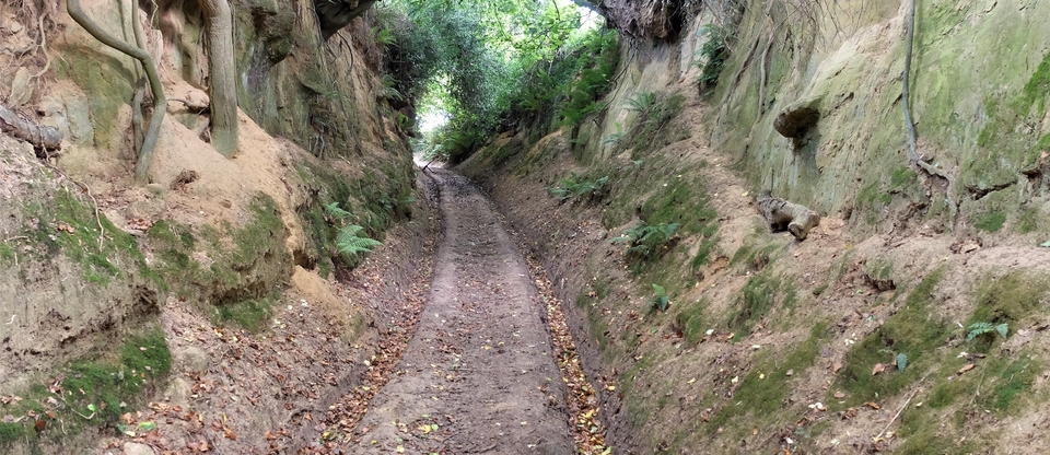
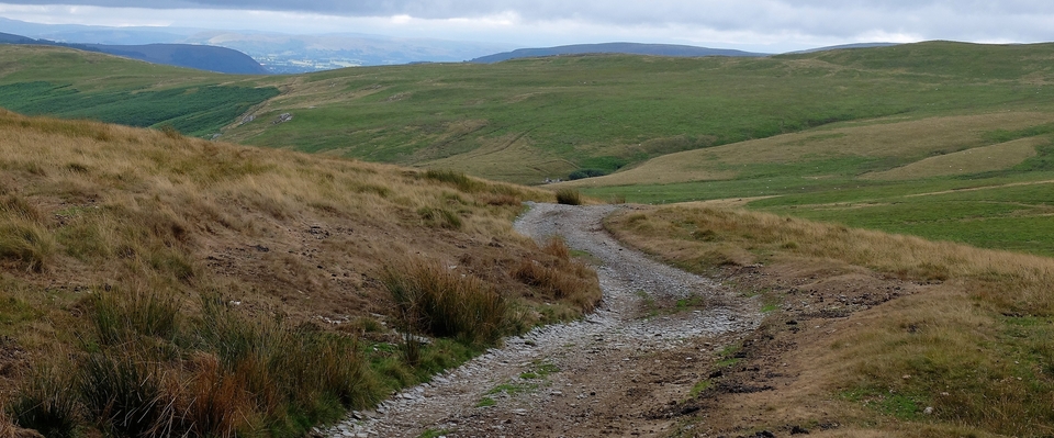
We rejoin the tarmac north of Brill, skirt that delightful village and discover another minor miracle at Touchbridge (Fig.3). Span Green (Figs.4,5) is just what it says: a wide green lane, leading down to Boarstall Wood.
(Pity the Oxford Lane is off & on like this.)
There are many possible routes in those last five miles. It's likely, for instance, that some of the drovers went east of Brill because there's a Coldharbour Farm below Rid's Hill. Coldharbours, over 300 of them, can be found in isolated spots all over the country. They were (probably...) untenanted shelters for travellers and their animals. No ale, no food, no fire; but a roof over your head if the weather was foul and no inn close. Sort of 17th century Salvation Army. And there's a field on the farm called ‘The Standings'.
Further on there's a Little London on the eastern edge of Oakley. There are plenty of theories about Little Londons. I used to favour the idea that landowners who wanted to enrich their fields might attract custom, i.e. drovers and their generous beasts, by naming them after the city whose streets were paved…etc. But now...I agree with John Trimmer, who says that Welsh drovers built or adopted places en route and called them 'llundainfach' or 'little (steps to) London'. And of course it was ‘London' whether it was Essex, Barnet or Kent. Possibly, even Southampton.
And all around Brill there are long, wide verges for standing cattle in. It was a busy area in the droving season and the main route was not to Oxford at all, but the road that crosses it – to Thame, Aylesbury and London.
