Oakley to Long Crendon
Oakley's Little London Green is a well-loved area of commons to the east of the village. We were told it used to be a great meeting-place for men on the move, something I always remembered...
(#1 shows an 18C map of the LL; #2 the old White Hart at the edge of the settlement. Note the barn with its chimney, providing warmth for Drovers on their way to Long Crendon and Thame.)
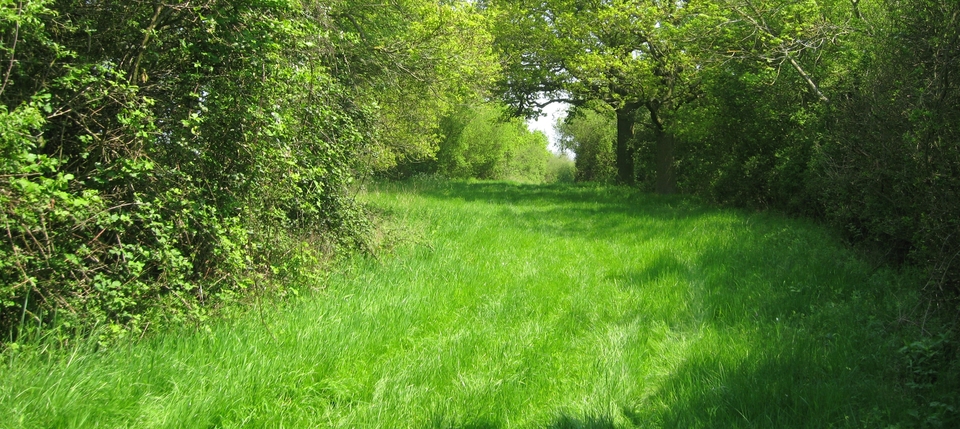
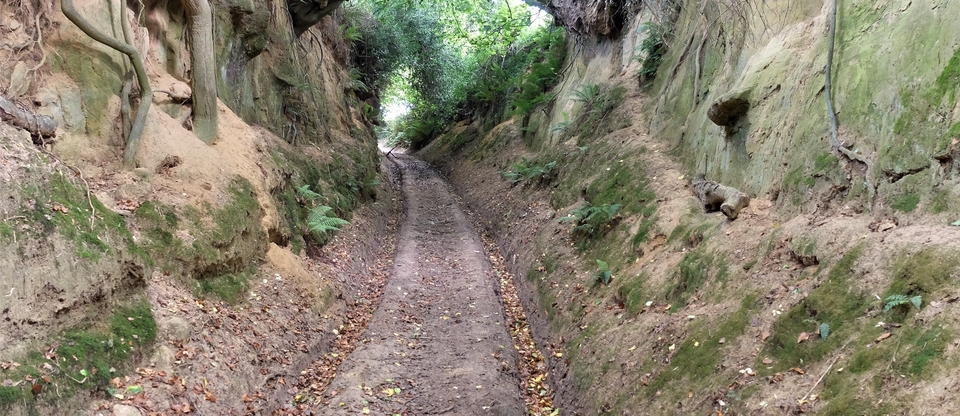
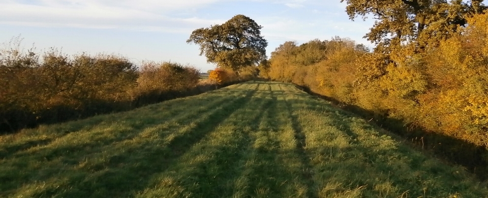
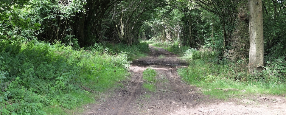
After R&R they followed the main road (now the B4011) – until 1833, when it was turnpiked. After that, they devised a route to the south, no longer tarmacked after Catsbrain Farm - delightful/disgusting name, take your pick, but cat is (usually) short for cattle - until just before Westfield Farm. The tarmac stops at SP 649100 (#3) and #4 is there to give you a flavour of the stretch to Westfield. It makes a great walk. And after that, another mile of tarmac to Long Crendon.
There is a detour around a field about half way along, which is there on the 1890's 6” map. Perhaps one farmer refused admittance to a precious field. Who knows? (That question wasn't rhetorical: does anyone know?)
The owner of Westfield Farm reassured us that we were on an old droving route, which is always a comfort. But there's something else we found on a 1590 - crikey! - map belonging to New College, and I've reproduced a tiny section of the map - of Oakley - in #5 with the brook in #1 on the extreme left. What do you think it is? I reckon I know, but I could be wrong. I think it's an auctioneer's stand. He could see the beasts he was selling, see the bidders - he'd have to be above them to do that - and everyone at the auction could see him. That would make sense because of the first paragraph. We shall see!
