Merbach Hill
Merbach Hill
Cattle coming from Wales via Hay were usually on their way to Hereford. But some would have bypassed the city to the south to reach Gloucester, Swindon & Bristol: or crossed the Wye south-east of Hereford at Rotherwas1.
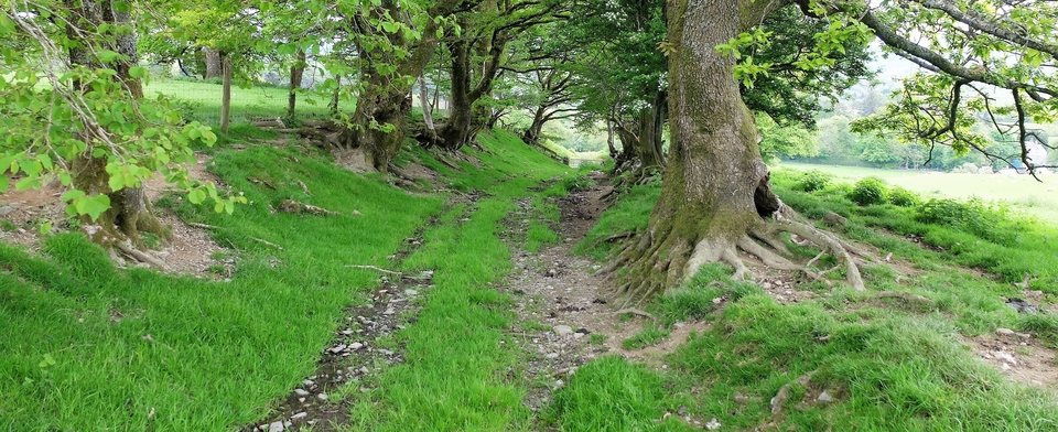
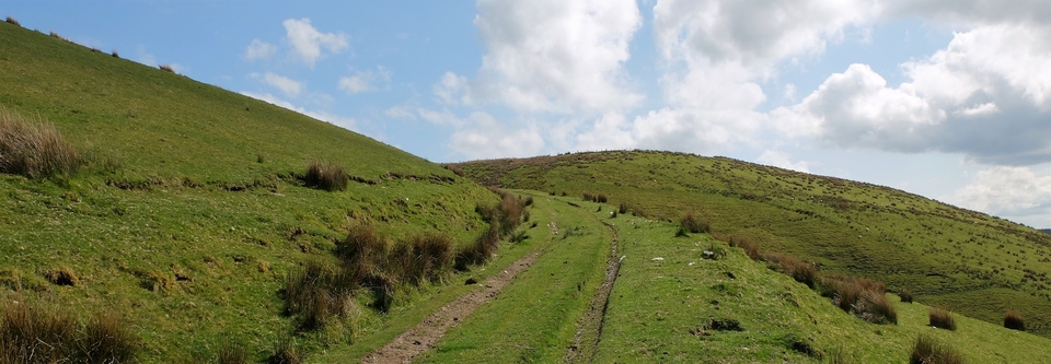
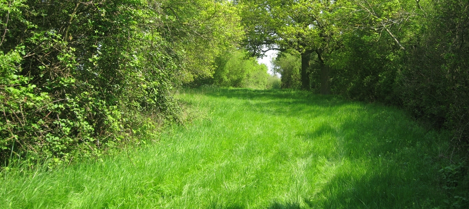
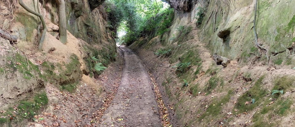
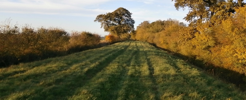
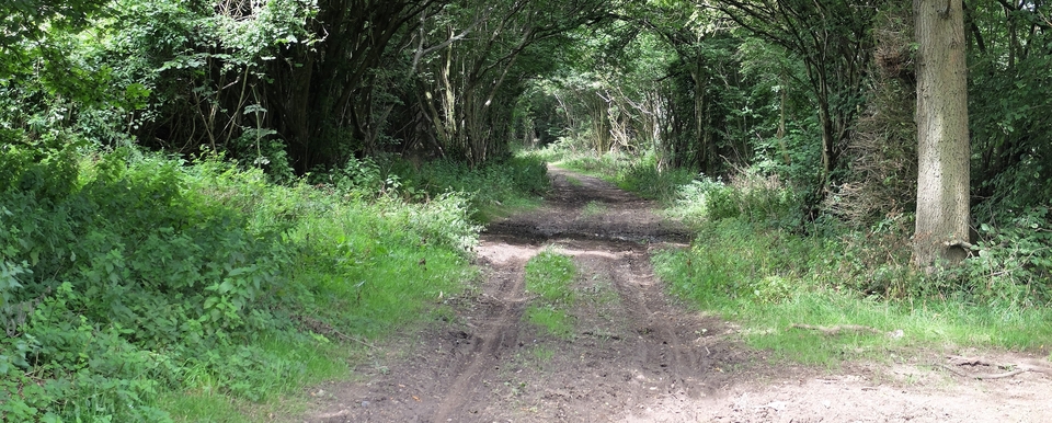
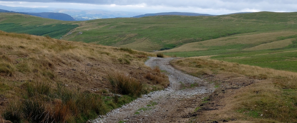
One route for these cattle was over Merbach Hill (SO 305452) towards Bredwardine, which provides a splendid walk with wonderful views of the meandering Wye. The surroundings change constantly: hedged fields near Middlewood (where we started), lush green common on top of Merbach and bracken on the Bredwardine side. (#1,3 & 4)
The hill had a little settlement and an inn (run by one Henry Hopton) recorded in the 1861 Census. There is a ruined dwelling at 295446 which might be it...(#2)
There are many routes down Bredwardine Hill, but we chose the one that joined the tarmac for a few hundred yards to pass Crafta Webb (317444), which is a story in itself (see below). The path probably continued in a straight line in the Moccas direction; Bredwardine may have been avoided by some drovers2 because of the tolls at the bridge but Roderick used the crossing in 1838 (see #5) and probably the Red Lion for his beer. (The place-names should read 'Bronllys' 'Hay' & 'Bredwardine'. He seems to have paid a lot to have his horse penned, or have I read the last entry wrong?)
Crafta Webb: poor people flocked to Staunton, Bredwardine & Letton3 in the early 1800's because of the extraordinary will of George Jarvis (1704-93), who left £30,000 to the poor of those villages for medical needs, clothing, fuel and schooling. GJ had walked from Staunton to London aged 13 with cattle drovers – so he immediately goes 5 rungs up the ladder to sainthood in my book! – and made a fortune in the leather trade. He married three times, but his only daughter Mary married a wastrel and was disinherited. Hence the will. (The charity still exists in a modified form, running 12 almshouses and a youth hostel.)
So CW sprang up almost overnight after GJ's death as families rushed to become residents of Bredwardine. There was plenty of limestone & wood, so lime- and charcoal-burning kept them busy. The village had its own tailor, grocer and shoemaker and Revd Kilvert used to lecture there; but by 1900 no one was left – presumably the limestone, or the enthusiasm, had run out. From 400 in the early 1800's, to 50 in the 1881 Census and today a farmhouse, a few stones and the remains of terracing (lynchets) on the slope.
1 The suffix –was, from OE waesse = ‘land by a meandering river which floods & drains quickly', is akin to ‘wash'. Thanks to Margaret Gelling & Ann Cole's superb book “The Landscape of Place-Names” for this and much else.
2 Of course drovers may have known of a way to cross the Wye at Preston, Byford or Bridge Sollers & get to Hereford without paying, in which case the whole Merbach route was for toll-evasion purposes. Toulson says there were half a dozen possible fording places when the water was low, including the Glebe Field near Kilvert's vicarage.
(Good walk: Bredwardine to Monnington Court. You climb a hill crowded with huge Spanish Chestnuts then walk down a mile-long avenue of Scots pines. It's unforgettable. But 17th Century Monnington may have been too smart for drovers – unless the owner wanted to buy or sell, I suppose – so I haven't included that stretch. King Arthur's Stone at 318432 is also worth a look.)
3 Brobury, lying in between them, was omitted from the will. In 1927 a parishioner said GJ had been refused water there. I'm sure there's a lesson to be learned...
