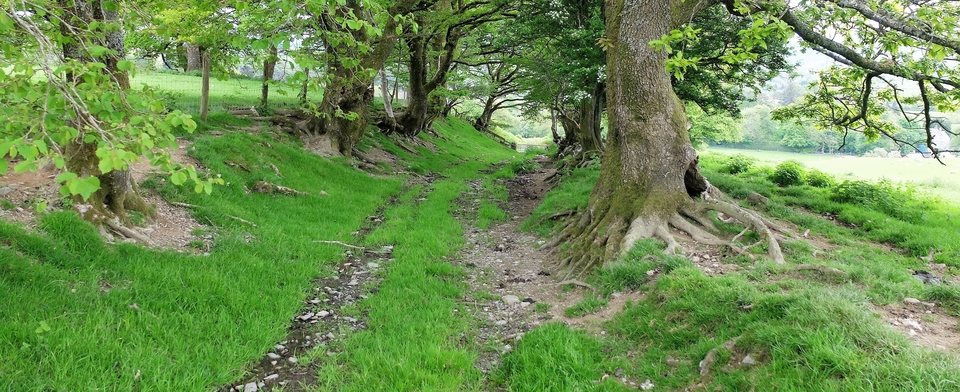
Mastiles Lane (2)
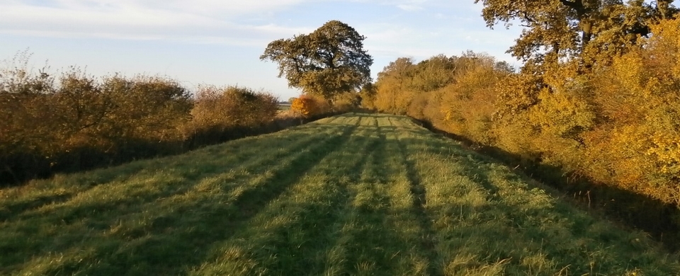
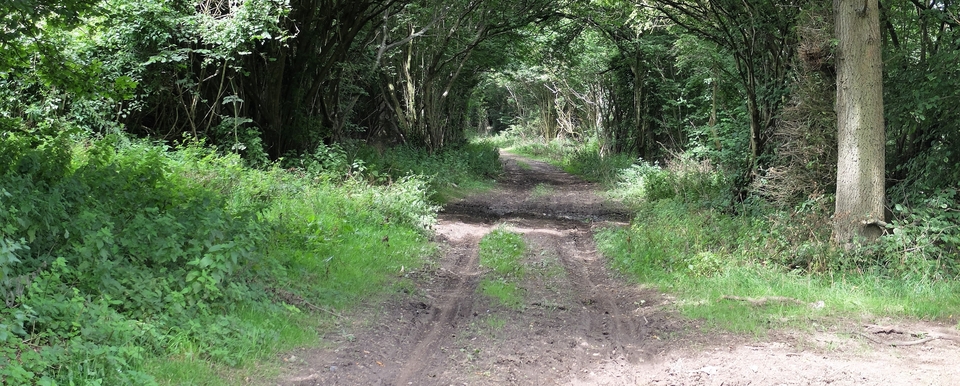
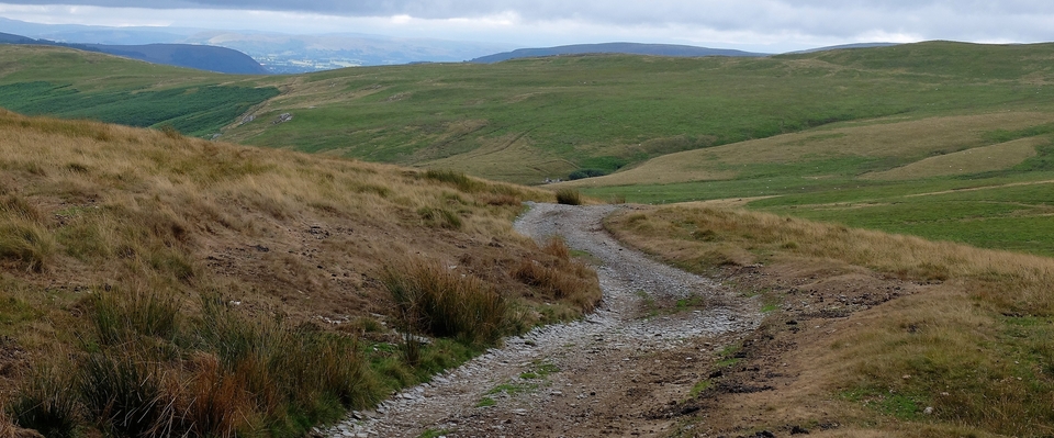
After Malham Tarn and the Great Close came the walk up the other half of Mastiles Lane (see above).
At Street Gate (SD 905656), the wooden sign at the start of the track says (optimistically, we thought) “Kilnsey 4 ½ Miles”. We’d talked to people the day before who swore it was twice that distance to Kilnsey, but in fact the map agrees that 4 ½ is fair. Just seems longer on a hot day.
The area is full of “shake holes”. I wondered what they were until a diagram by Elizabeth Pickett explained them instantly (#1). Also called “dropout dolines” – not sure how to pronounce the second word there – they form when weaker (less cohesive) soil is washed out beneath the harder-to-break-up soil; the latter then drops into the void beneath it.
Dangerous? Sounds it, but the only spectacular collapse has been at Marble Pot in 1980 (SD 759730) – off the beaten track for most walkers – when an entire area crashed 30m into the “stream-washed fissures beneath”.
Thank you, Elizabeth Pickett, for that clear commentary.
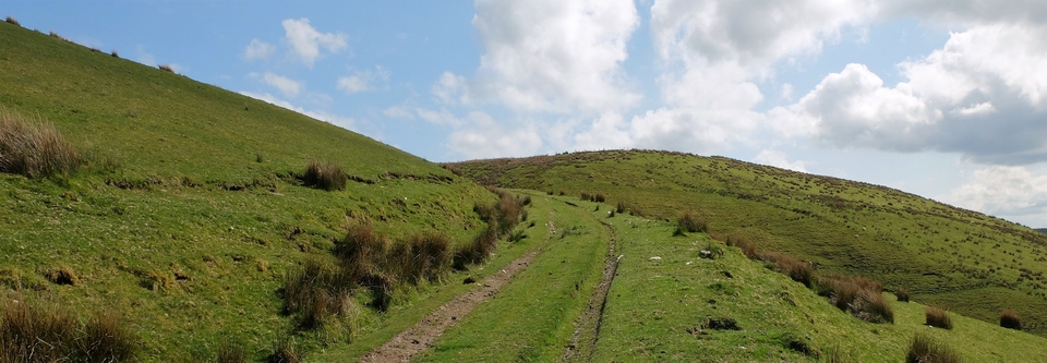
Once we’d got to Street Gate, the fun began. Only one wall at first (#2) – did that mean that the area to our left was common land? In which case the crofter would not be required to fence himself off from the landlord…(see Mastiles 1)
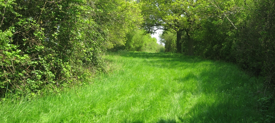
We were on the lookout for a “temporary Roman camp”, which straddles the track at 915655. I think #3 could be the only remains above ground. The camp dated from around 71AD, thirty years into the Roman Occupation, and was established so that legions could fight off the Brigantes. (Yorkshire & Lancashire appear to have combined forces in those far-off days.)
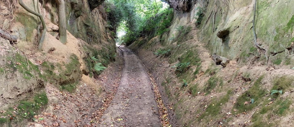
The rest of the walk was a dream - with two walls, unfortunately - but we were happy to return to the car and food.
PS If you make the journey to Malham by car and want to return to the Grassington area, try the Arncliffe route. It is UNFORGETTABLE. The road may be narrow, but the grass verges allow you to pass traffic coming the other way - and, as an extra treat, you can have a pint at The Falcon at Arncliffe.
