Haseley to Pyrton
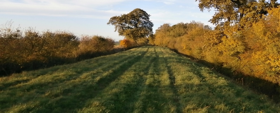
Little Haseley – the name is delightfully sleepy – lies at SP 643006 beyond earshot of the M40, the busy artery to the east. But the lane that goes south-east from the village to Henley via Pyrton and Christmas Common was an artery itself once. Up from London to Henley by barge came the luxuries demanded by colleges and country houses; but down to Henley, London-bound from all parts of Oxfordshire, went hay, barley, cheese, fuel…
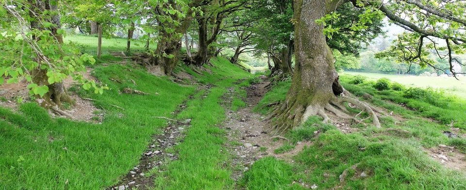
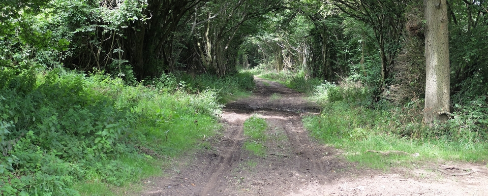
South of Haseley the route goes along ‘Stoney Lane' (#1). This name isn't found on the old maps and Ann Cole suspects that a muddy crossing of Haseley Brook - at 648003, before the path was diverted to avoid Little Haseley Court - was filled with stones to make it passable. (She took pictures years ago and it was a bit of a mudbath.) Furthermore, the derivation of Standhill (646996) is stan-(ge)delf, 'stone quarry'. The crossing itself is referred to in the Pyrton Charter as hafoc-gelad = 'difficult crossing frequented by hawks'. How much meaning can you cram into one word?
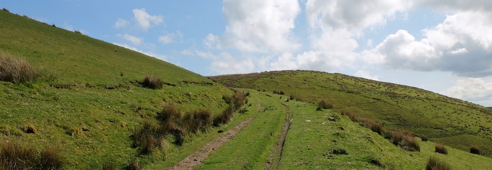
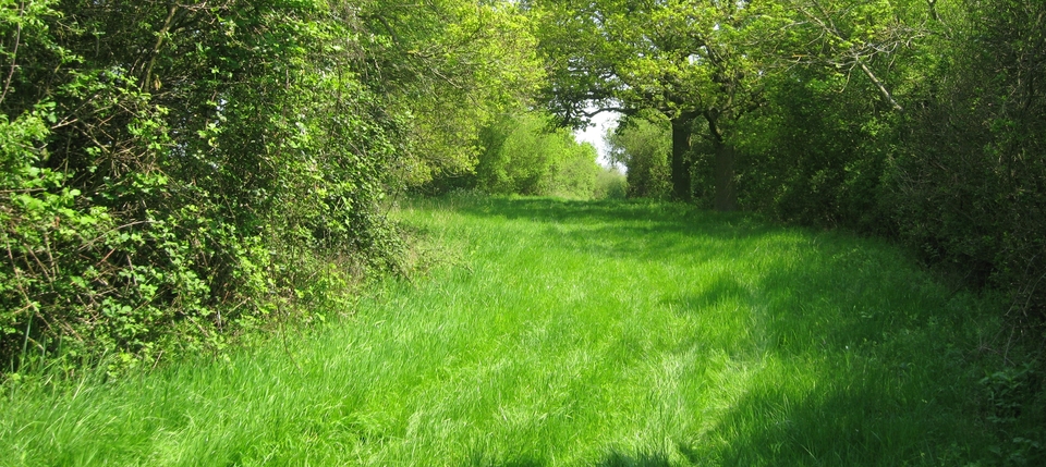
After Clare (“Untouched by time”) Hill (#2) the map gives it its well-known name, one of the oldest in England: Knightsbridge. It predates the Pyrton parish charter of 987 AD1. The route (though not the name) originated in Hythe Bridge Street in South Oxford and was a far quicker way to Henley than the hugely circuitous route by water. Perhaps the name stuck when rich men on horseback cantered through the stony villages…? (#3)
December 2020: Tim Horton has just contacted me via the website to say that Knightsbridge was never a bridge as such, but a crude causeway of kindling and bales laid down by young lads for pennies to give ease to travellers and their animals. Ann Cole adds that the Old English cniht probably meant "youths" before developing a more specialised meaning. So the 'knights' were casual labourers - just as they were when they made a bridge over the River Westbourne as it flows to its confluence with the Thames in London.
Thank you, Tim. I had no idea that the Westbourne was a London river. Westbourne Grove now makes more sense.
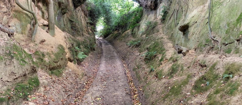
Downhill they cantered through Pyrton – ‘pear orchard' – where The Plough (#4) no longer serves ale, and across the Watlington-Lewknor road. The sign says Station Road (#5) but that name is new. Before the railways it was ‘Pyrton Driftway'. So the drovers used the route too, to cross the Thames at Bolney and Marlow.
My thanks to Ann for having contributed so much to this article.
Next, we follow the route up Watlington Hill.
1 But the lane is also referred to as "Ruggeway" (Ridgeway) in the Middle Ages...
