Forthampton
On our way back to Wales from Painswick we decided to take the “easy” route along the A40 and just “happened” to drop into Forthampton (SO 8533). It must be one of the most desirable villages in the UK; everyone we met there seemed to have been born there, which sort of proves the point. It is largely (completely?) an estate village belonging to the Yorke family.
But our main interest was, as usual, the droving fraternity: why would they have chosen to veer off to Forthampton rather than take the more direct route to Tewkesbury, now the A438? Answer: the direct route was littered with turnpikes after 1826.
The D’s were aiming for the Upper Lode1 (883330) or even, in bad weather, the Mythe Bridge (888337) and the Forthampton route afforded them the easiest way to evade turnpike charges.
(Before 1826, ferries were in use across the Upper & Lower Lodes. The ferry across the Lower Lode (SO 880318) was used in favour of the Upper because the Abbot had a summer residence at Forthampton Court. After the Dissolution, however, the Upper gradually became the more used. But, curiously, despite the indirectness of the Lower Lode route, the charges for the Lower Lode ferry remained as high as the Upper Lode right through the 1830’s.)
Back to Forthampton. I was told that the houses leading down to the Church face the wrong way; meaning the original road was at the back of them, not the front. I suspect the reason for the move was Forthampton Court, whose grand entrance would otherwise be on a lane – rather demeaning. Corner House Farm was a drovers’ inn, said Fred & Richard Remmer, sadly departed friends from 2008.
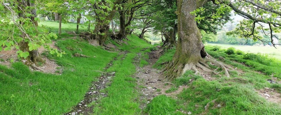
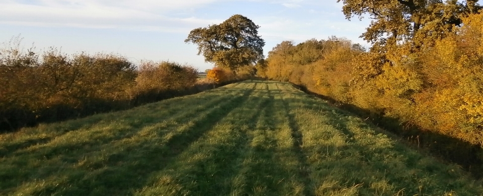
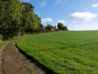
The only way to the D's original route these days is to turn left just before the Church, which took us down to meet the drovers' route. We looked back at C.H. Fm (#1) and imagined we could see where the drovers' cattle had left a green path to the hedge...
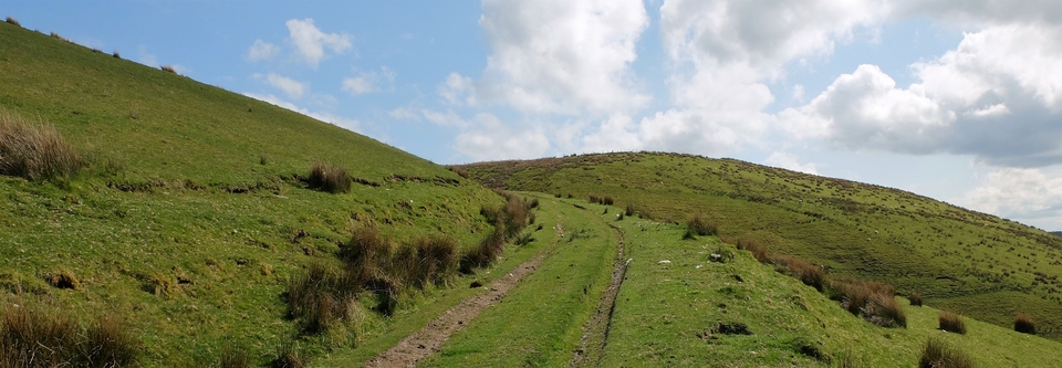
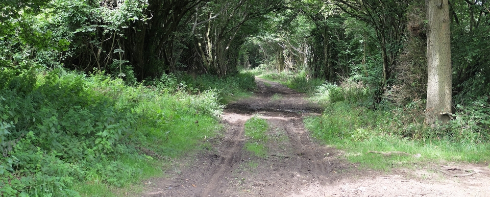
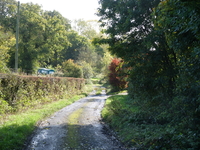
Then we turned right at 858327, and in front of us was a perfect drove road on a perfect day. I took a gamble and knocked at the cottage on the right hidden by trees in #2. A lady I can only describe as gracious and dignified came to the door. While she waited for me to explain that we were looking for the route to the ferry, she replied, “Ah, the road the drovers used? Well, this is it.” It was a magical moment because the last thing villagers usually mention is the D’s. She went on to describe the route, warning us that most of it had been turned over to agriculture and footpaths had been destroyed.
Chris had joined me by this time, having heard the magic word from lips other than mine. Just wish we had stayed to gather more wisdom...
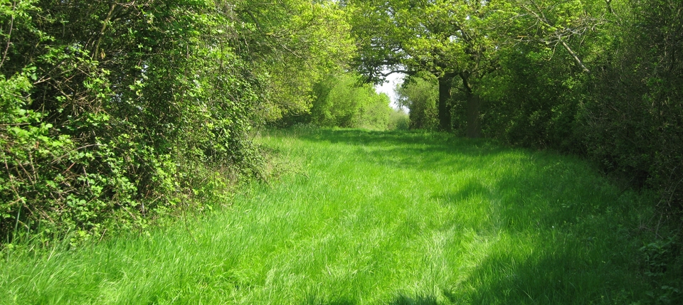
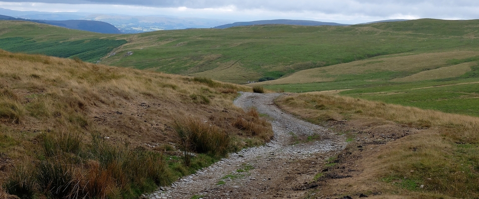
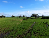
After that, we climbed past Paradise Brook to the converted windmill (“The Round House”) at 868324 (#3) and saw what we thought was the tower of a village church in the distance. It wasn’t a church, of course, because there isn’t a village: it’s Tewkesbury Abbey. (The services there are really dramatic: a censor on a 100-foot chain swings up and down the aisle. Seven-foot tall men beware!)
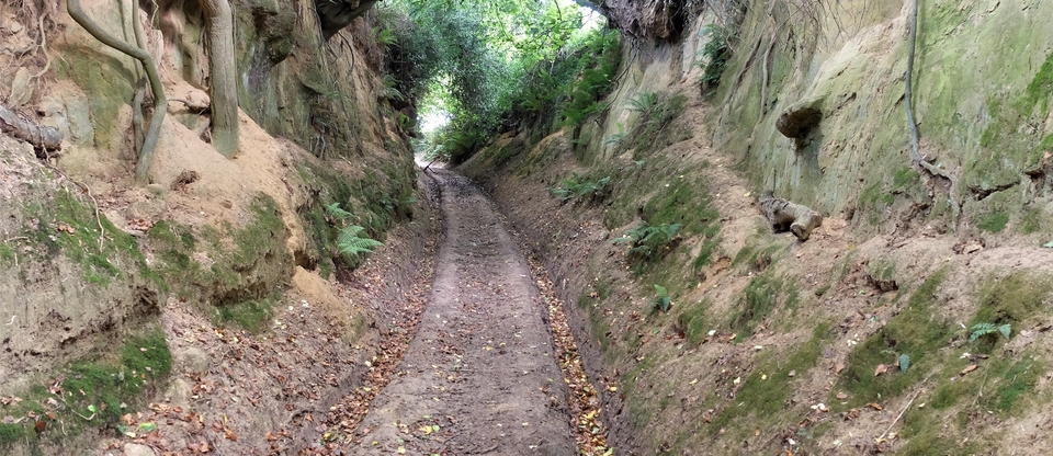
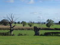
And the rest of the route – not that we managed to finish it, which gives us a good excuse to return – was made especially magic by the sight of the abbey beyond the 30 or more dead oaks across the landscape (#4,5). No one has volunteered a reason why the oaks have been kept, but they are splendid and venerable – and had reached maturity at the time of the Battle of Tewkesbury in 1471. What tiny creatures it all made us feel.
A great visit on the way back to Wales.
1 Lode = “stretch of water”
