Breinton-Hereford
Breinton is a jumble of five hamlets, confusing for a stranger. There’s a Common that’s no longer common; the church of St Michaels built as far away from habitation as possible but surrounded by a beautiful riverside orchard (N.T.); and The Boat Inn, equally far from human hab. – and flooded so frequently by the Wye that it will probably be rebuilt on higher ground, if someone can find any.1
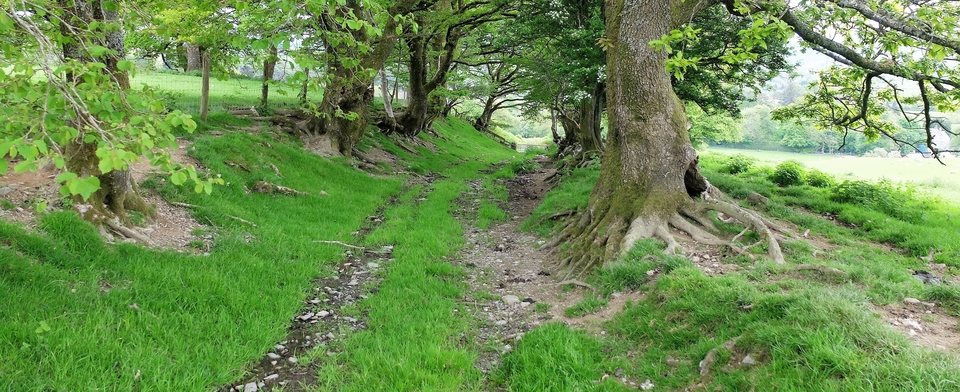
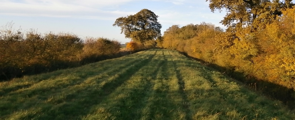
But it does have a splendid drovers’ road into Hereford marked “Green Lane” (SO 464408). It starts as tarmac, then becomes properly green (#1) after the caravans.
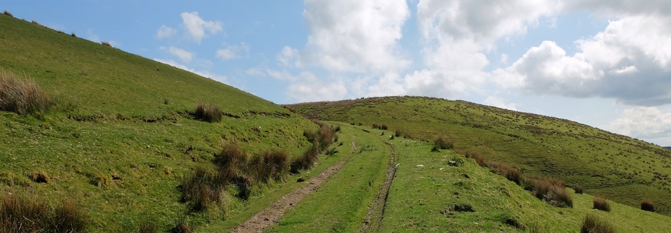
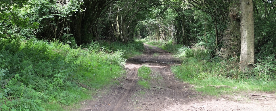
If you turn north at the crosspaths (470407) you’ll see two splendid pines (plus a third past its best) on your left (#2). However, I haven’t been able to prove the existence of an inn nearby (unless a dot where the pines are on the first edition 1” OS is proof enough).
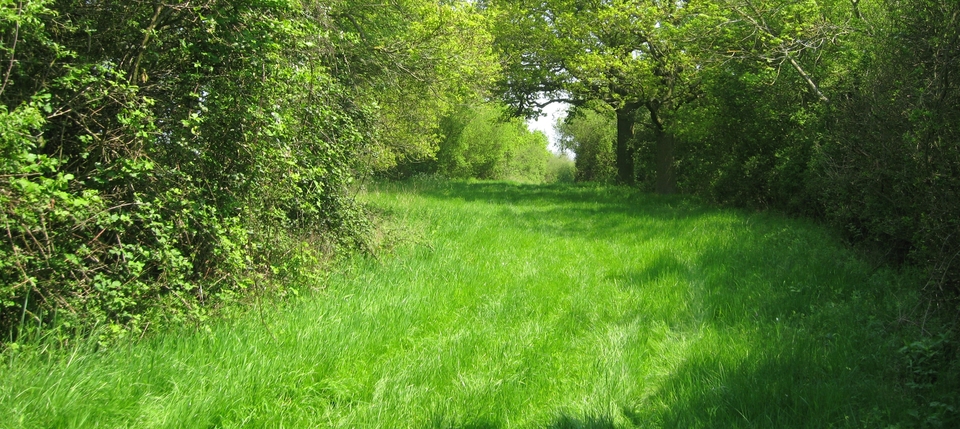
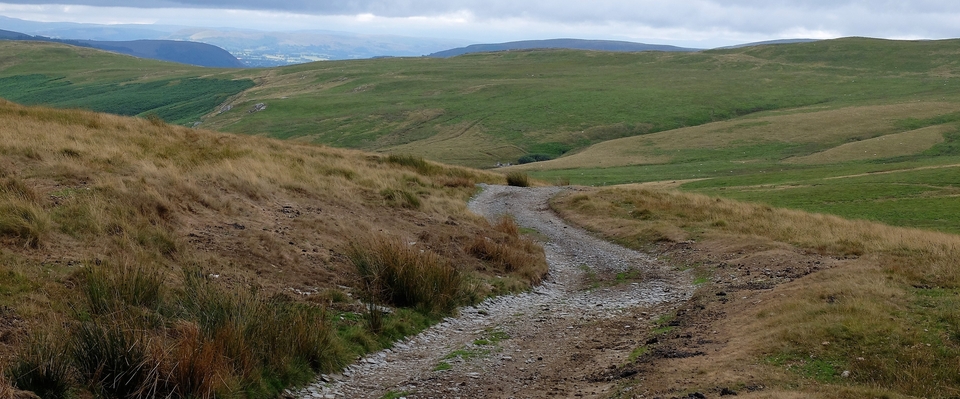
Back to the main track: the next excitement was meeting the owners of the cottage above Upper Hill Farm, who said that originally the large space between the white cottage and the red barn in #3 was totally enclosed and had been used as a resting-place for cattle. They’d have used the pond too – and I forgot to say that the whole track was full of nettles, which by now everyone should know is the first sign of cattle.
(Was the Cottage once an alehouse? I seems a bit mean to supply so much for the cattle without supplying a bit for the men in charge.)
More was to come: “Drovers Wood” was planted at the Millennium by Herefordshire C.C. as we approached White Cross, the area drovers used to graze their cattle before market. I had forgotten that, but saw I had written “Here the D’s grazed their B’s before market” on an old map years ago: in 2008, perhaps, unaware of the looming bank boolocks, I had sat in a pub and found a man who knew – or remembered! – the whole story. Just wish I could remember the occasion and the man.
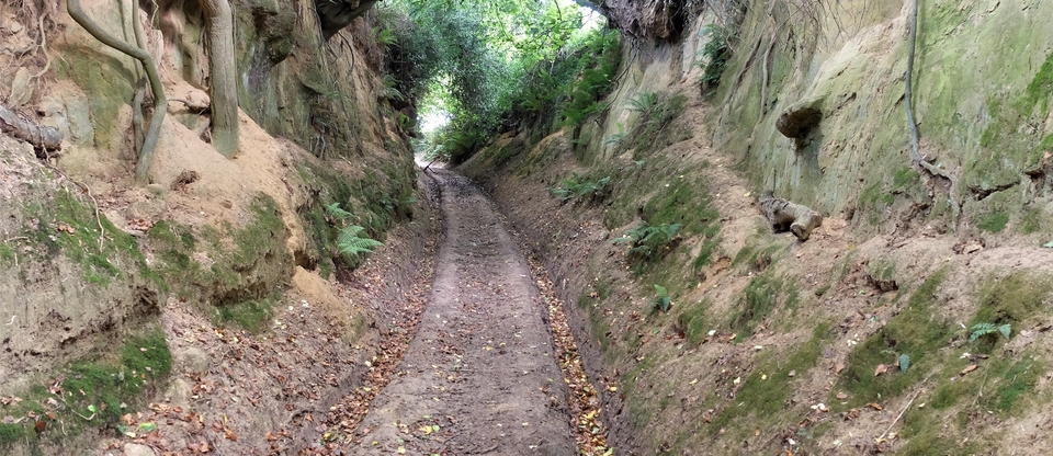
I won’t show you Drovers Wood, for obvious reasons, but take a look at #4. England in all its glory, in spring. Nothing more need be said.
1The crossing was known as “Sugwas Ferry” and there was a ford too. Drovers coming up from the south-west would have used Stone Street Roman road, thus avoiding the tolls at Brockhall and Kings Acre. #5 is a picture – maybe the last! – of the Boat. You can see the BOAT INN obscured by the first-storey window.
