Stanway to Bourton - 2
We left you at Hornsleasow Farm (SP 124322).
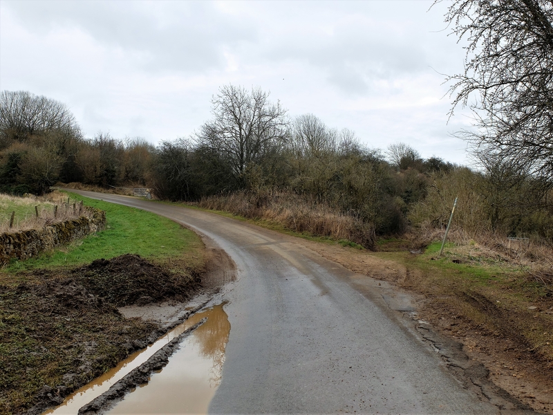
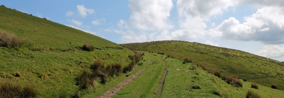
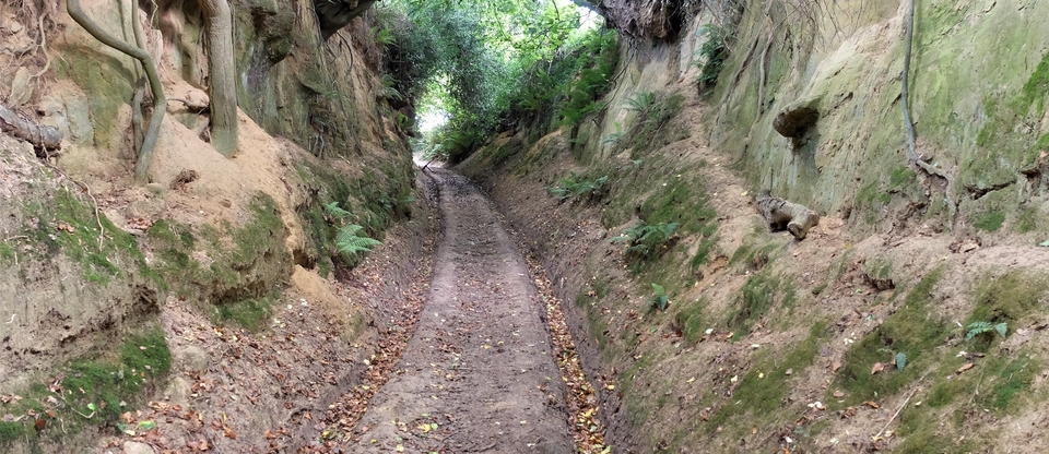
Then, thanks to Nick Gammage (who walked all the way from the Preseli Hills to his home in Chesham, then went on to Smithfield!), we adjusted our route. Instead of swerving north at SP 129322, we left the tarmac behind a quarter of a mile after the farm - see #1 - to take the far more likely drovers' route eastwards to Bourton-on-the-Hill via Bourton Hill House. We were now on a mucky, disreputable path – but it was reasonably straight, as drovers would have all routes.
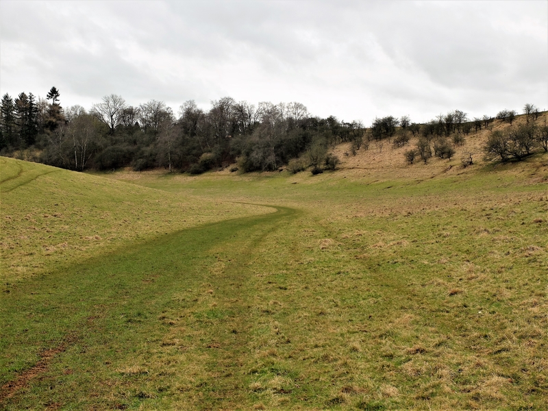
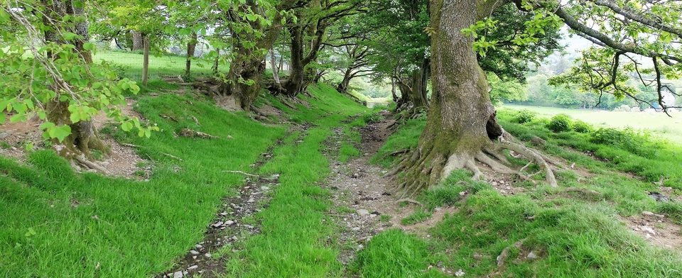
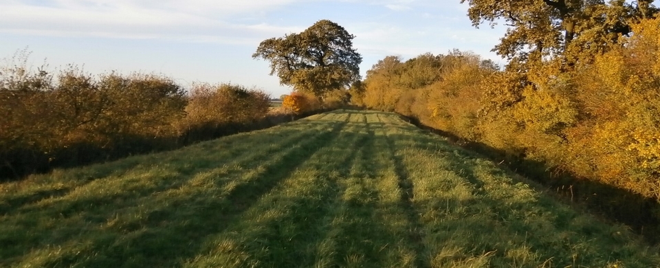
But now, a confession: the correct path didn't appear straight to us at all after the first few hundred yards, so we failed to turn left at the first chance. Then, of course, we carried on all the way – to Hinchwick Manor, down an utterly beautiful track- grass road, more like - through a valley; and south instead of east (#2). The path was so well-kept that it made us suspect something was wrong: drovers' routes are rarely objects of beauty. However, I thoroughly recommend you do the same, in spring. Possibly not at the end of February, as we did.
David Ella has since written to say: "the pretty valley you mentioned is on the line of the old Roman road Ryknield Street (called in places locally Buckle Street). Nobody seems to know if the agger of the road is in the middle of the valley or on one side." Thanks for that, David.
Well, there's certainly a gap in Icknield/Rycknield or Buckle Street between Hinchwick Manor (SP145301) and Spring Hill House (127341) and the Romans were far too pragmatic to build roads over hill and down dale just to keep them straight. As for the agger, the mound in the middle they built the road on for drainage, I'd have kept it as far away from the wooded hills on either side as I could. So Down the Middle gets my vote. But wherever it was, the walk down the valley was superb and every delightful bend seemed to open up a new and unforgettable view. What a walk! I should write a book "Mistakes we are Glad to have Made" and begin it with that one.
(Incidentally, the Roman road becomes tarmac at the point we came off it (129322), then veers off-piste to meet the A44. We wondered whether Hinchwick Manor and Spring Hill House were ever Roman villas once. As someone once said, There are only so many perfect views...and Hinchwick Manor has it, probably Spring Hill too.)
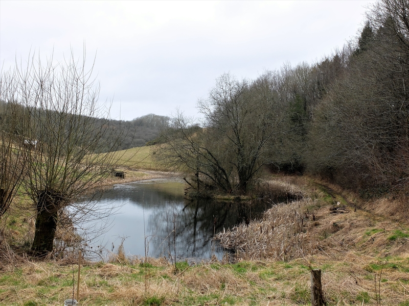
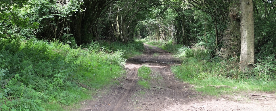
So we trekked back to Bourton Hill House, where we found Kildane's Bottom in the background and a whacking great pond in front of it (#3). In 1821 KB was "set out as a public watering place for cattle". The pond wasn't there before quarrying began; but the stream that feeds it was. So, good respite for men on the move: an established grazing area at Kildane's Bottom with a watering-hole chucked in. Two for the price of one. Maybe a free night's rest as well.
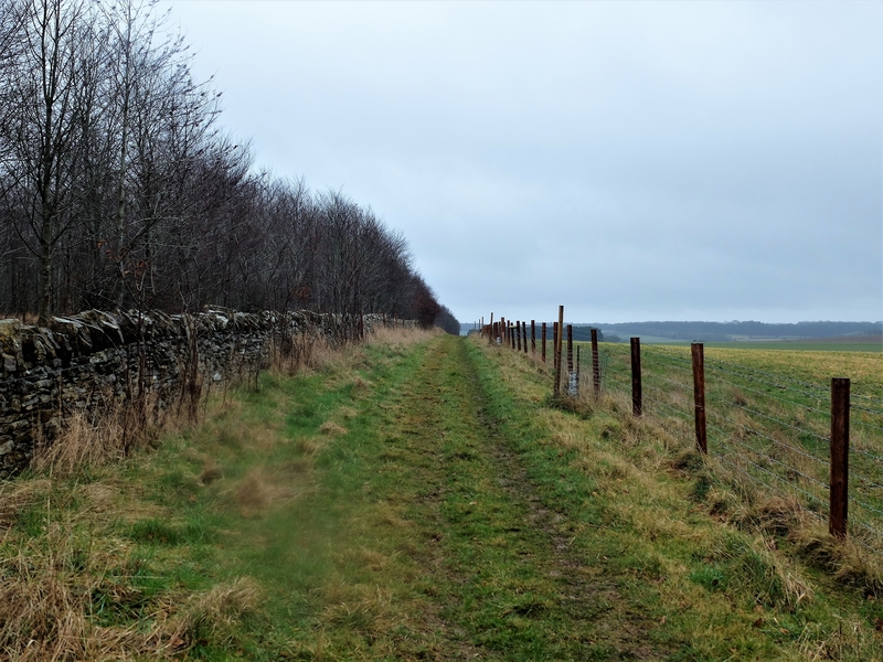
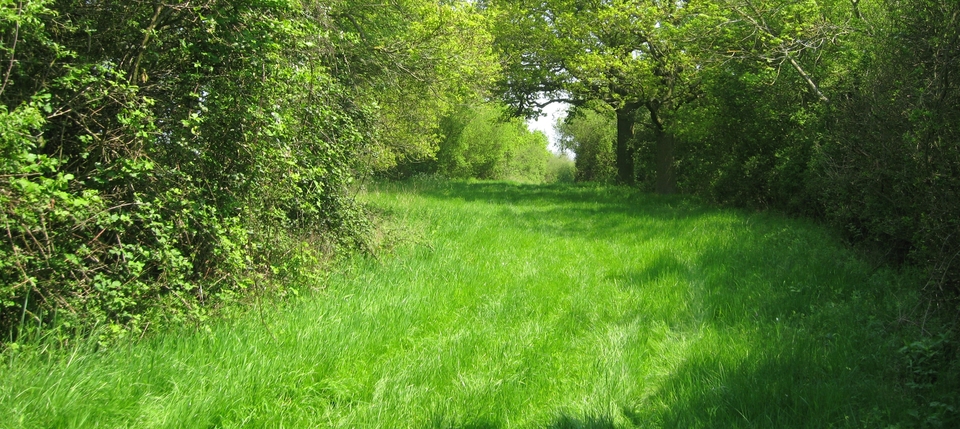
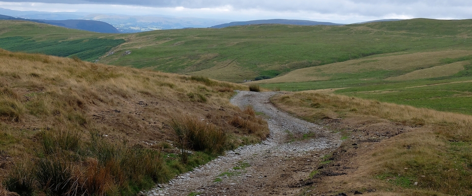
I walked the lane/drive up to the A44, but the taste for adventure had worn off a bit by then and I wasn't even sure that the drive up from the house was the route the Welshmen would have taken, so we returned to the car: by the path we should have used all along… (#4) … but how boring was that, compared with the route we mistakenly took? Driving rain made it worse and it was a featureless slog.
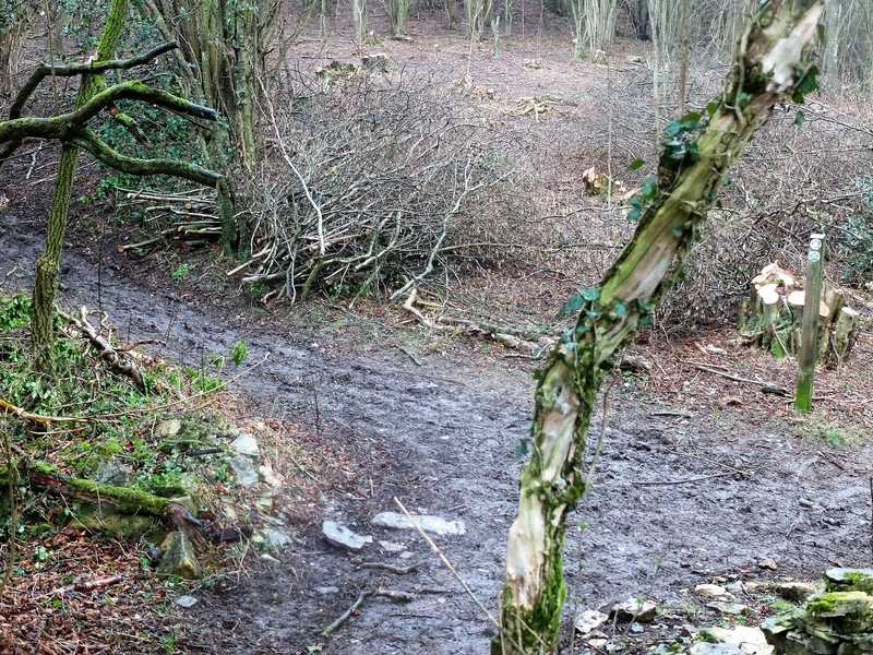
What we really wanted to spot was where we went wrong – and there was the wee sign, trying to be invisible in the shadows (#5).
Thank the Lord for mistakes: no Google on walks is the motto.