Ruckinge (Kent)
After driving around Romney Marsh with Jak we were determined to find one walk that could have been a route to Ashford Market – and I think we found it, even a couple, at Ruckinge. Two byways go northwards either side of the village at TR 014332 and 030339, so it wasn't hard to go up one & return down the other. Three miles.
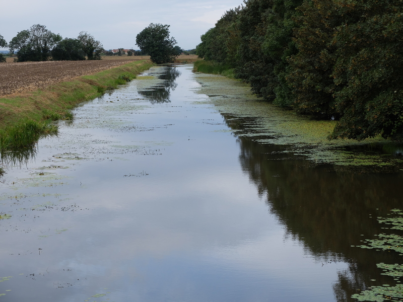
Before we started, we had a look at an information board on the canal. It told us about “Lookers”, the shepherds who lived in huts on the marsh, caring for the sheep of many different stockmen and landowners (#1); also Mr Pitt's Ditch (#2), the Royal Military Canal.
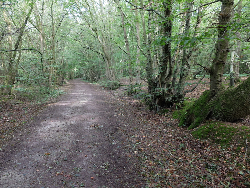
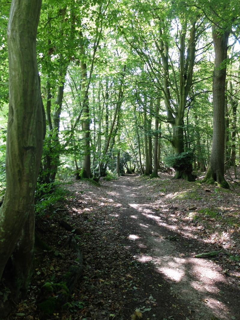
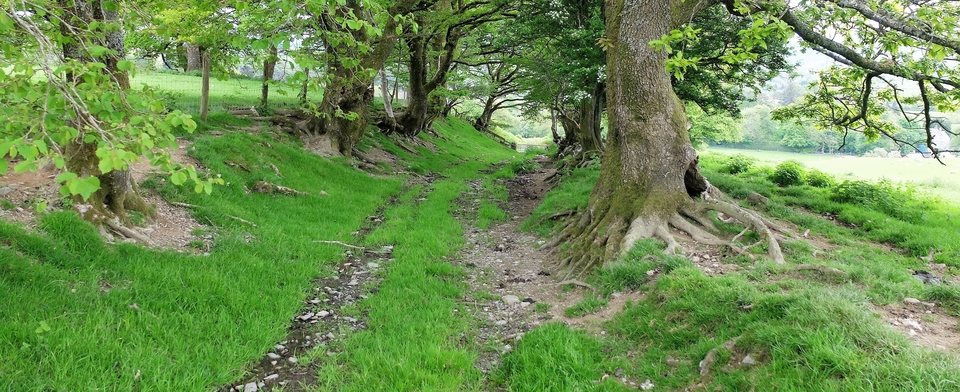
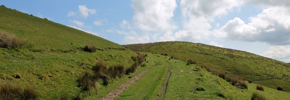
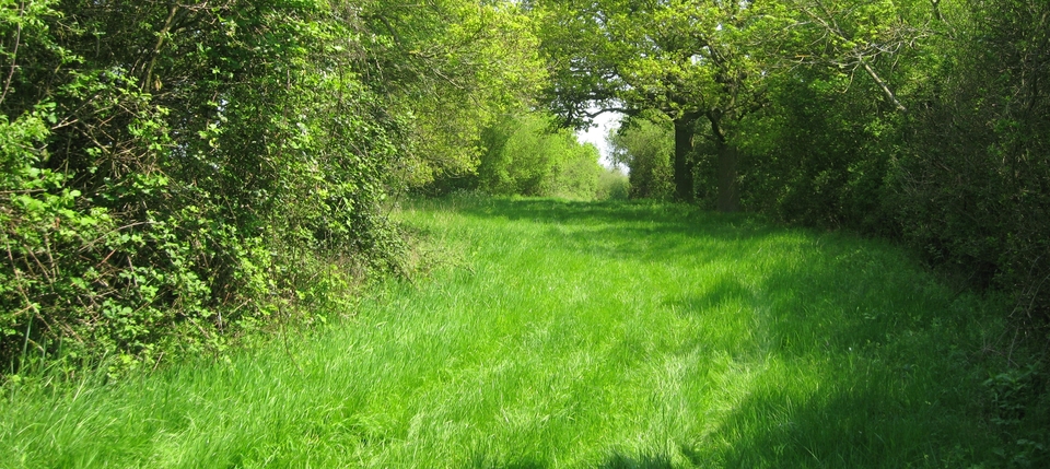
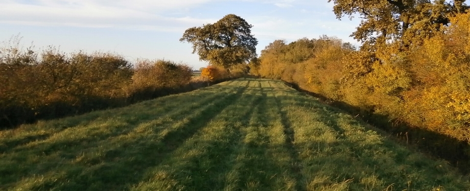
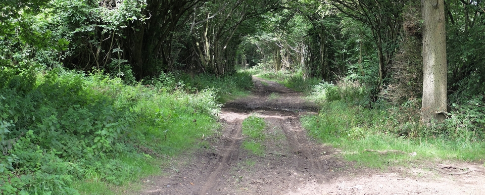
The walk itself was one of the easiest & most pleasant we've had, if a bit lacking in historical interest. (A pub, a pine tree or a local historian with an amazing anecdote – or all three – is the usual recipe for that.) But the track is wide, the hedges are old (#3,4) and you only have to map-read with any intelligence when you reach a short tarmac stretch of lonely road (Greensand Way) that joins the two routes and brings you back to Ruckinge.
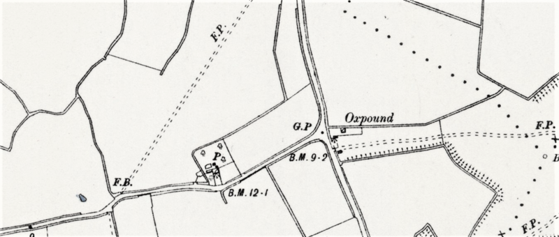
Historical interest was stirred on return to base when Chris discovered this Oxpound (#5), just south of Ruckinge at 030317…in the middle of nowhere. Presumably for lost cattle; presumably for cattle being driven north to Ashford & being cussed. Strange find. Jak Showell says he's often wondered what the pond hidden in the hedge was there for.
The church at Ruckinge has a chimney too, at the back. Kent, like The Past, is a different country.