Royal Oak, Syresham
I've lived in Syresham for seven years and only just discovered...a drovers' inn only half a mile out of the village.
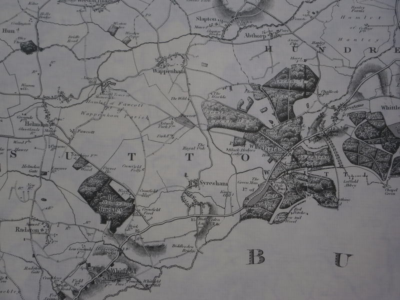
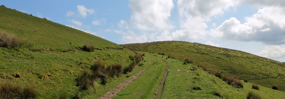
The Marstons at Wild House Farm told me their house used to be an inn - The Royal Oak. But it's not a place you would walk to from the village: there were two pubs there within a stone's throw of anyone who was thirsty. So it had to be for drovers. It's in the centre of the Bryant map (1827), north of Syresham and near the second T of S U T T O N (#1)
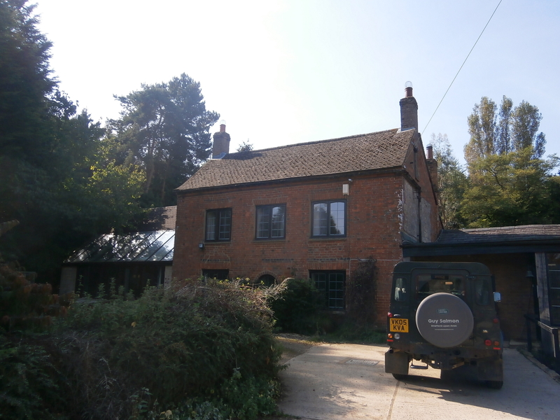
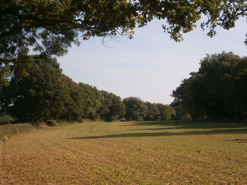
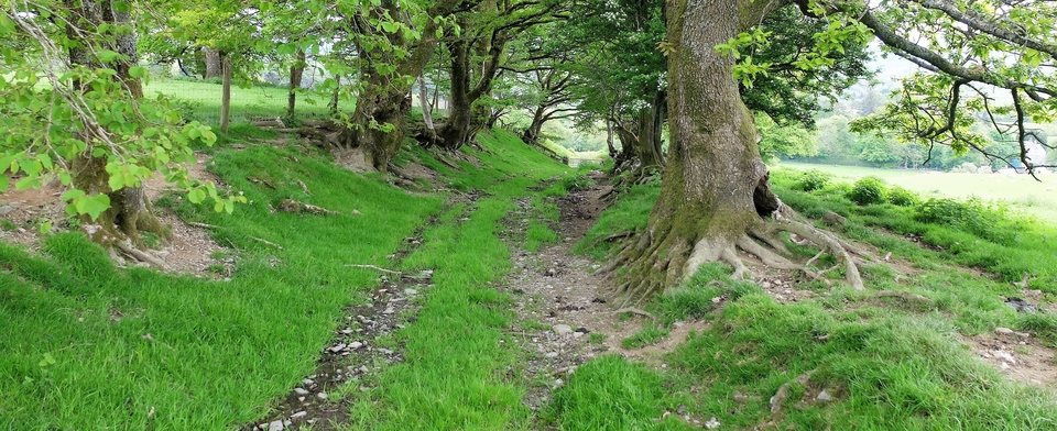
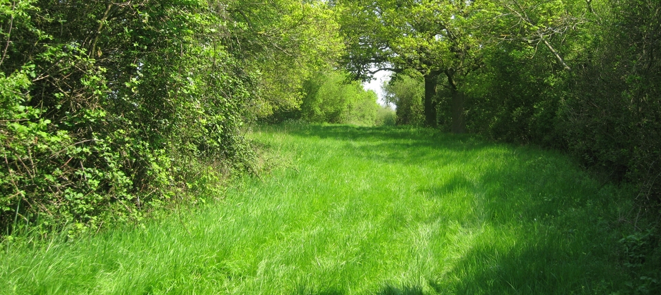
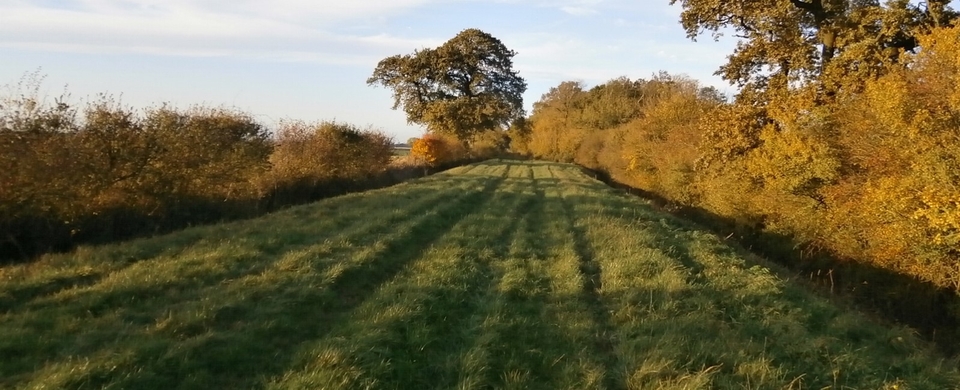
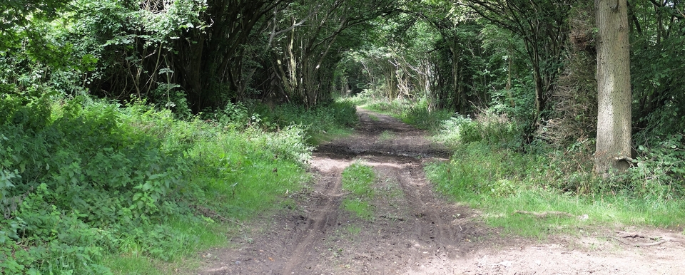
What's more there's a 'sling' or overnight field for the cattle/sheep (#2). The Marstons have planted the trees on the left. The farmhouse, ex-inn, now looks like this (#3) and the road coming from Helmdon is now a field (#4).
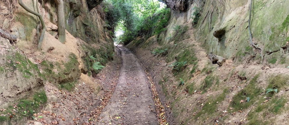
So: coming down from Culworth, the beasts would have been taken through Sulgrave (see next month), turned left at Helmdon, then via Astwell Park Farm to Syresham. A wandering route, which didn't, as far as I can see, avoid a tollgate.
Perhaps the grass was greener or that's the way some drovers had always done it...Once a relationship or habit is formed, one tends not to break it, and it may have felt unlucky to do so in a more superstitious age.