Pay Lane, Ascott
Years ago I was asked to give a talk at North Leigh in West Oxfordshire, so I looked at the Explorer 180 and saw a spider's web of old tracks leading to the village from the north-west. Probably packhorse tracks to take wool to Crawley or Witney for blankets, I thought – but worth a try. So I drove to Ascott-under-W. and got a pleasant surprise (#1).
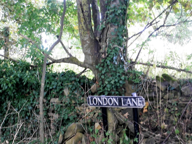
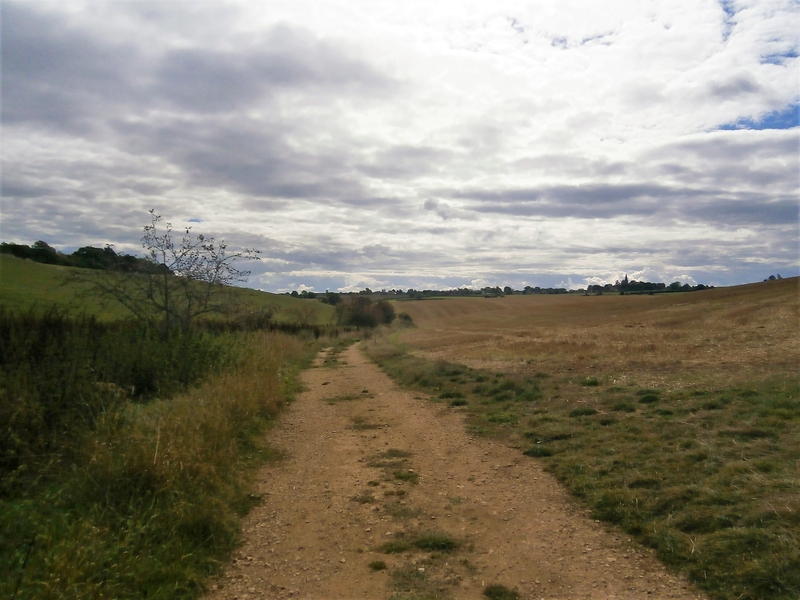
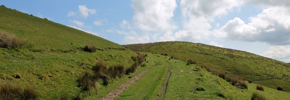
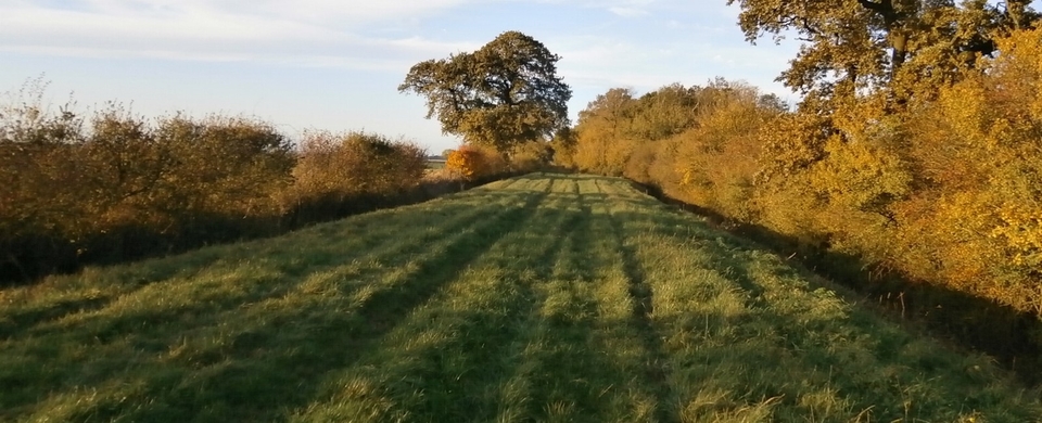
‘London' Anything is a good enough hint for me, so I set off up the hill from Ascott to Leafield and the walk got better and better. The track to Kingstanding Farm (interesting name - but see bottom of page) was a bit dull (#2), but once in Leafield I turned left on to the High St then right down Greenwich(!) Lane. I branched left off Greenwich after 300m where a building suspiciously like a tollhouse guards a fork in the road (SP 327152) – and I was in Pay Lane (known also – interestingly – as “Sows' Road”).
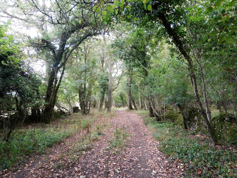
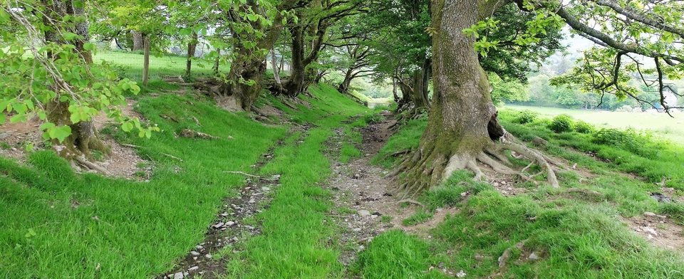
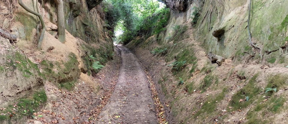
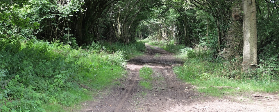
I couldn't believe my eyes. It's walled on both sides (#3,4), as if it was The King's Highway. Then I clicked: “sows”. Pigs are hell to drive because they're not gregarious. (I remember a photo from Countryfile showing six pigs all facing in different directions, with 6 men behind trying to get them to move.) So a wall on either side would at least stop them charging off into fields either side1.
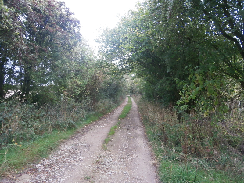
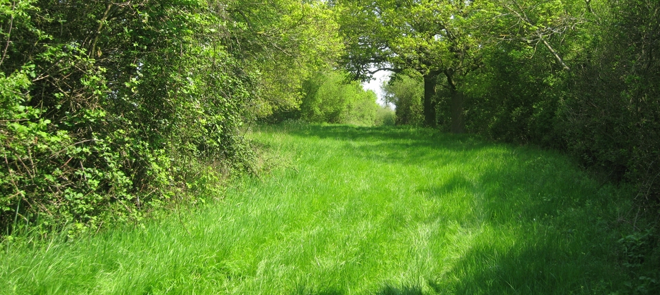
The stately path changes its name to Saint John's Lane after a mile (#5) and can be followed all the way to North Leigh, but I'm sure it wasn't aiming there; I bet it went in the Eynsham direction via New Yatt Lane and Barnard Gate (404106) – before Eynsham Hall got in the way – to cross the Thames just south of Eynsham at Swinford Bridge. Swine's Ford…seems to make sense. So was this the route the bacon took to London? Or were the animals put on to a barge at Abingdon, bound for Uxbridge? If so, I bet the pig-drovers had the biggest p***-up of their lives, so relieved to be handing the damned things over to someone else.
The great thing about the walk – or cycle ride, either will do – is that you can return a different way by branching off at New Found Out Farm (344145) and going down Akeman St for a bit. Endless fun.
PS Enter Ann Cole of the English Place-Names Society, whom I asked to comment on the above. And she has kindly done so:
I have apparently opened a can of worms because the origins of Pay Lane have been the subject of puzzlement among Anglo-Saxon scholars for years. Some think it's Roman - well it's straight as an arrow and near Akeman St...
As for the pigs, a 12th Century copy of the Witney Charter (969 AD) refers to Pay Lane as suga rode. Sugu is Anglo-Saxon for 'sow', so I suggested a mis-copying, but no one is satisfied with such a quick fix.
The name 'Kingstanding' provides another clue, perhaps. It is where an important medieval knight, buddy of the king, stood with his crossbow (?) ready to shoot the wild boar (or deer) as they were driven out of the wood by the beaters. Wychwood was a Royal Forest: forest means oaks, oaks mean acorns, acorns mean pigs - the animals were, of course, fattened on them. (It's called pannage, I think.)
The forest was cut down in the mid-19th century, but I have no excuse for not guessing the link between the forest and the porkies. Thanks, as always, Ann.
1 I wonder which pig baron supplied the money for the expensive wall.