Newnham to Arlingham
The Newnham-to-Arlingham Crossing
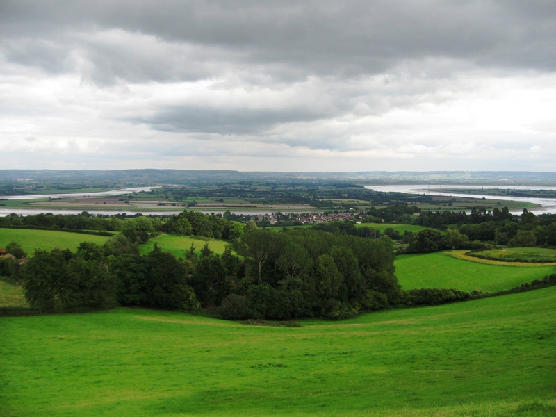
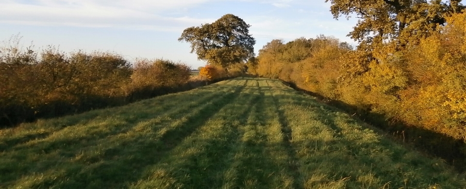
Crossing the largest river in the UK has always been hazardous, even at low tide. The crossing at Newnham1, however, was established as one of the safest and most important from Roman times2, partly because it was narrow (less than 500m). It lies on a huge loop of the Severn called The Horseshoe Bend, which I took an incomplete picture of from Little Dean, on the west bank (#1).
THE FORD
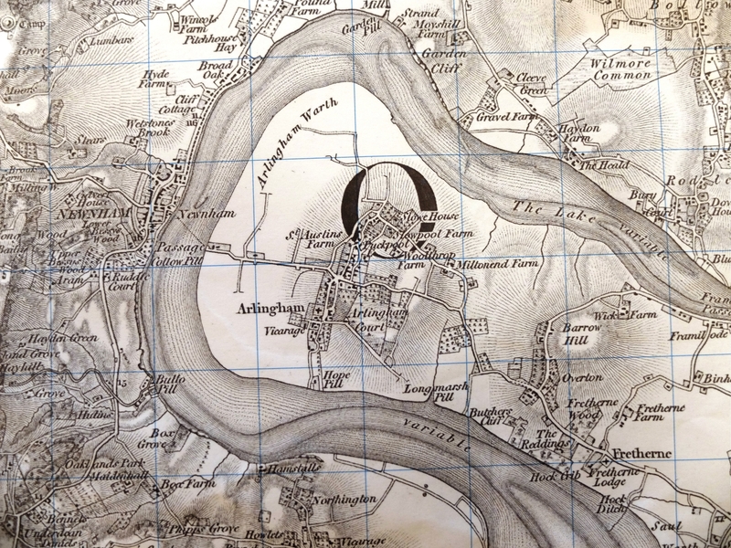
From prehistoric times till 1802 it was possible to cross the river on foot or with horse & cart. In the gap between the north of Newnham and Cliff Cottage (see #2) there was a ford for beasts and carts at Hawkins Pill3. A rocky ridge, just below water level at low tide, ran at an angle across the centre of the river with two gravel beds at either end of it. But you needed a guide to cross safely: it didn't run in a straight line & there was deep water on either side. Samuel Rudder, in his History of Gloucestershire (1779) wrote that many lives had been lost in attempts to cross.
In 1802 storms altered the course of the river and destroyed the sand-beds, so the ford became unusable.
THE FERRY
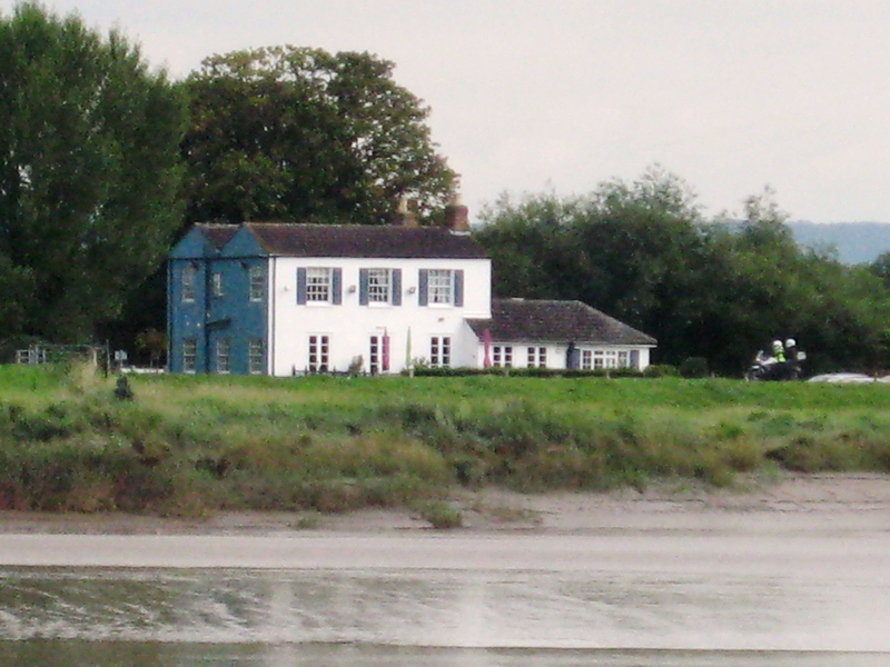
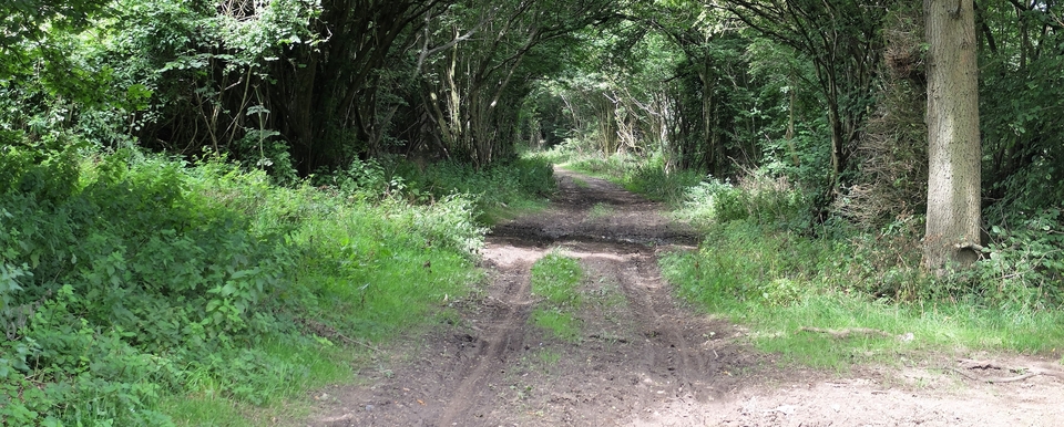
The most obvious route across was from the middle of Newnham, down Passage Lane (#3) to the tollhouse – isn't there always one when you don't need it? they must have said – and across to Passage (now New) Inn on the Arlingham side (#4).
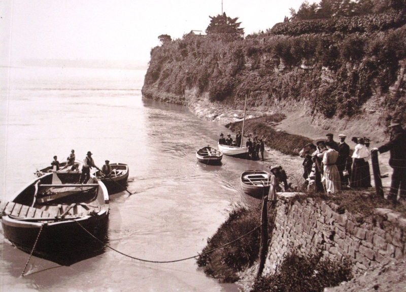
But Collow Pill, on the southern edge of Newnham, was probably the original ferry site4. It was busy in the 1890's (#5) and the tannery & timber yard above it were busier still & would have been its biggest customers. Steps down to the water are recorded there in 1618.
The crossing was certainly used by Welsh drovers, but accounts of their crossings weren't usually recorded unless there was a drowning or a near escape. It is a tribute to the safety of the Newnham crossing that the only accidents we found were to a ferry overwhelmed by the bore in 1809 and a vicar who obstinately crossed on horseback in 1848 in the early hours of the morning when tide & weather were against him. (Miners digging a tunnel under the Severn were nearly killed in 1812 when an underground spring erupted, but I don't think that counts!)
As a postscript to THE FORD section: Guy Vowles, an author of books on Walking who keeps a walkers' blog called guysrambles, got in touch (October 2019). He was brought up in Westbury-on-Severn, upstream & halfway round the bend (as it were). He remembers as a youngster his sisters crossing the Severn at low tide on foot at Strand (715133). He was in tears because he thought he'd never see them again.
On another occasion a cow strayed on to a spit of sand/mud where she got stuck. The local farmer tried to pull her out with a rope and tractor, but to no avail.
Thank you, Guy, for that. Anyone with any stories of the Newnham-Arlingham crossing, please get in touch. The Arlingham side is full of mystery, which I am failing signally to sort out…
1 On the OL14 Explorer, Grid Ref. SO 690117
2 The Romans needed the coal, iron, stone & timber from the Forest of Dean. There are traces of a Roman Road in Arlingham. Later, in the Industrial Rev., tramroads were needed because of the hilly terrain. Newnham must have been busy.
3 Pills-a-plenty around Newnham. Probably a contraction of pool, pwll in Welsh.
4 There's yet another candidate: Bullo Pill (or Collow) to Hope Pill, further south still (see #1), which avoided the marshy ground between the Passage Inn and Arlingham village…