Magpie to Syresham
On the previous page I listed three ways for drovers to travel from Edgcote/Culworth down to the B4525; but there were many more, because all are connected by footpaths that cross them. So he head drover might start off on one of the main routes, then find (by travelling ahead on a pony) that the inn they were heading towards was full, and cross to route number two, and so on.
I deal with Magpie Farm (called ‘Magpie Inn' on Bryant's map of 1826) on the first page of ‘Recognising Routes', so I won't repeat it here. But it led the drovers to a junction a mile further on at SP 546 436, at which they would turn east towards Buckingham.
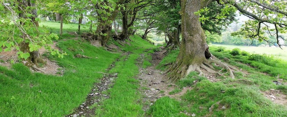
Standing at this junction and looking half-right across the road you see Marston Hill Farm, an old drovers' inn, on the brow of the hill (#1). In between the farm and the road is a diagonal ridge or causeway. According to John Wilkinson, the owner of the farm, that was to stop the cattle that came to the inn from sinking into the mud and losing a shoe. For the field is well below road level.
(The causeway comes from the Thorpe Mandeville direction, which suggests that Thorpe was on the busiest route of the three.)
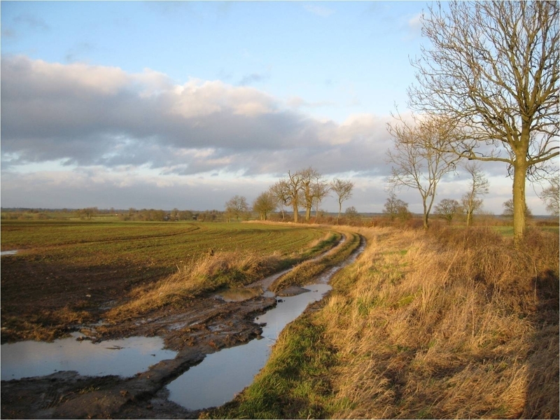
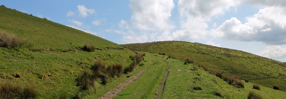
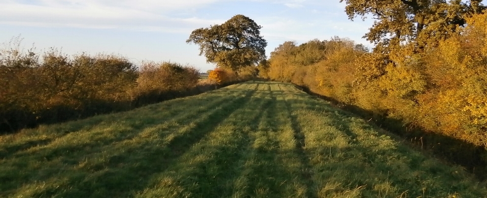
There are now six miles of road with hardly a dwelling in sight. We pass Butchers Close, a drovers' stance between Stuchbury Manor and the road, which has had its hedges pulled up and been incorporated with another field, so no visual interest there. Then a mile further on, past Greatworth Hall on the right but just before the byway sign on the left to Stuchbury, we come to Gallows Field at SP 565 425(#2). There was once a courthouse there and, of course, a gallows.
Before the Second World War the mound on which it stood could still be seen by Ross Adkins and his father of Greatworth Hall Farm: circular, said Ross, about three yards in diameter and one yard high.
Unfortunately in 1939 the call went out for every squinch of agricultural land to be put to use, so, much to Ross's chagrin, the Adkinses were forced to plough the mound flat.
The gallows must have been used mostly for livestock thieves, which brings me to an interesting point: when drovers' beasts were stolen and the perpetrator caught, what was the procedure?
I think it depended on the status of the drover. A valid licence meant that he should have been (according to a law passed under Edward VI) over thirty, married, a householder and – “respectable”! If that sort of man could hold the thief and find a magistrate he, the drover, would surely have been believed. (If he was well known from previous droves he could find locals to back him too.)
And if no magistrate could be found…summary justice?
(There are tales of drovers bringing a bunch of ‘heavies' with them – sailors who had jumped ship, for instance, and who wanted to disappear into the countryside. And drovers carried flintlocks. They were exempt from the Disarming Acts passed in the Jacobite emergencies (1716,1748) because it was realised that, without firearms, they would lose their herds. The notorious Culworth Gang never attacked a drove, although they used the Banbury Lane, a drovers' road, to disappear into.)
Two miles on, at the Falcutt turn near Helmdon, is a series of wide verges, which I have been told were once fenced off from the Lane to act as stances. Helmdon had at least two inns, and there had been no chance of refreshment since The Magpie. The grandfather of Mervyn Humphrey of Falcutt Hall Farm (SP 594 419) remembered being paid sixpence to look after the Welshmen's cattle while they went down to the pub. And there is a touching item in the Helmdon village constable's accounts of 1687 about a sum (unspecified) given “to a poor Welshman who fell sick on his journey driving beasts to London”. (Thanks to E.B.Parry for that.)
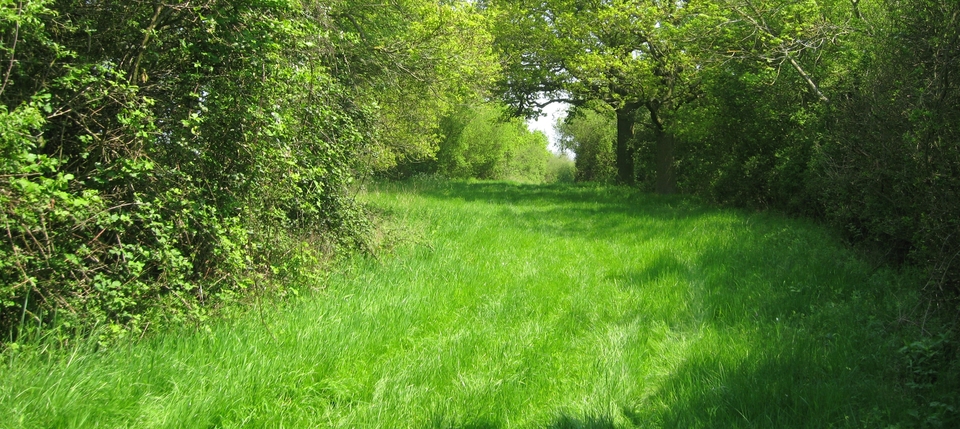
After Stockings Farm (598 424), which provided rest and a ‘bait' for the stock, the road goes past Crowfield. On the Crowfield corner is Staplegate Farm, which used to be ‘The Sow & Piglets', another drovers' inn.
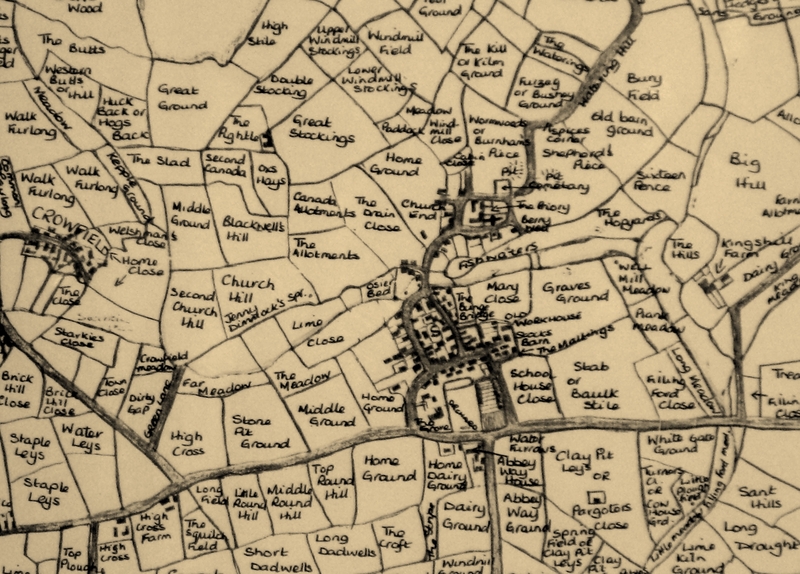
In 1932 the English Place-Names Society was collecting material for their volume Place-Names of Northamptonshire. 200 elementary and secondary schools in the county sent pupils to record current field-names.
The conscientious headmasters collected the results, found the pupil with the neatest handwriting to put them on a map, which he then sent to the Society; they are now in the County Record Office. Syresham's head teacher did a good job, as you can see from the field map (#3). Maps of other villages I have seen are scrappy and some were never submitted.
In the 1980's Valerie Budd of Crowfield transcribed it, revealing "Welshman's Close" just east of Crowfield (on the left edge of the map). A small L-shaped, misshapen thing which Val found hard to fit the name inside.
Were Welsh cattle kept there overnight on their way? Possibly; or else the name was just a reminder of the importance of Welsh cattle to the area...
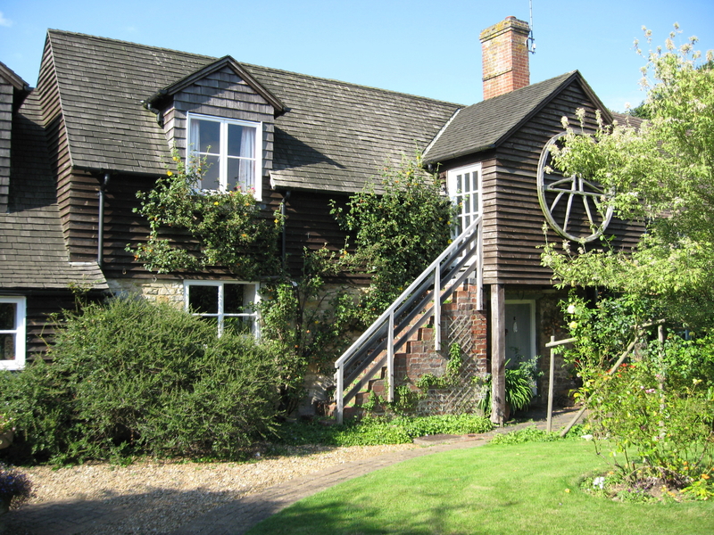
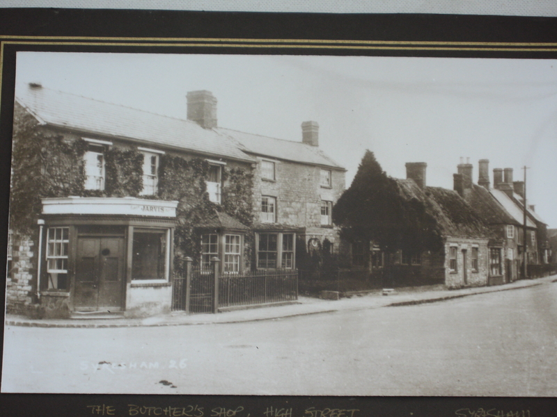
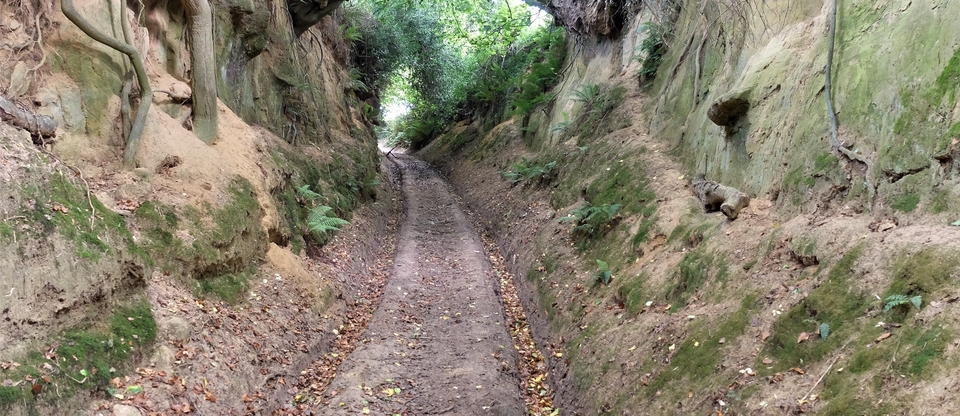
Then a turn to the left brings you to Syresham, which has two traditions connected with droving. One is that the lead drover was offered lodging upstairs in the barn of Vine Cottage in Broad St. (#4); another that a small thatched cottage opposite the school on the main street was called ‘The Drovers' House' (#5, taken in 1926). I was told this by Don Cox, who was born there. I wonder if the carefully pruned yew tree was a sign to the weary that shelter was available.
(Syresham also had a pound, not necessarily a sign that drovers were around. A beast found straying on someone's land would be taken to the village constable, who would lock it up and give the finder a ‘receipt' for it. This took the form of a hazel stick, notched at random by the constable then split lengthways. One half was given to the finder, the other kept by the constable. Whoever returned with the split stick that matched the constable's would be able to reclaim the beast in the pound. Presumably a drover who had lost the beast would have to pay the finder generously to get the stick and thereby the beast.)
Now down Abbey Road, across the new A43 and into Buckinghamshire…