Knightcote Bottom
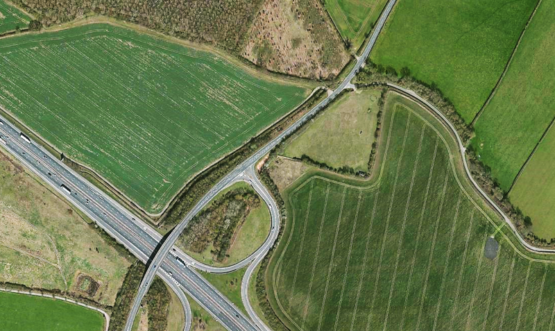
The route on this page is a continuation of the Hunscote Lane saltway – but the motorway and other obstacles have got in the way. #1 is an aerial view of J12 of the M40 (Gaydon) and the squiggly lane going off to the south on the right leads into the saltway, now called Knightcote Bottoms Lane. Drive too fast and you'll miss it.
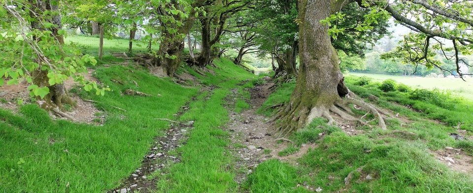
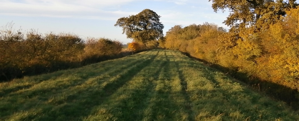
Within a few hundred yards KBL has reverted to its original straight line (#2) and the M40 has ceased to exist. You've gone back 50 years. Marvellous and in places so wide.
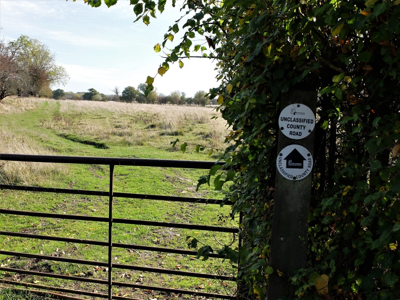
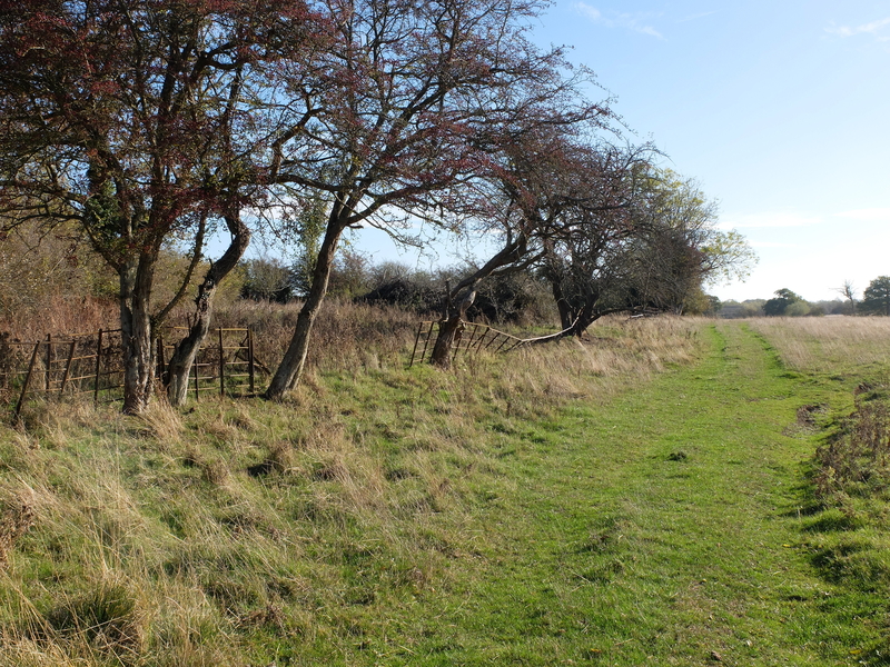
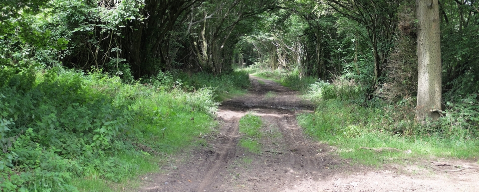
Go straight ahead at the crossroads north of Knightcote then turn left at the next junction to cross Ham Bridge at SP 403552 – a beautiful little structure, but there's no room for a picture of it here. As soon as you're over HB you might be surprised by the WCC notice (#3) leading into an open field…the continuation of the salt route, of course, and proof that we were on the right track. And it gets better (#4).
(At The Grange we met the historian John Bolton, who confirmed that it was the old saltway and told us about another old road going south across Ham Bridge to Burton Dassett & Chipping Norton. This self-imposed 'job' never ends, I'm glad to say.)
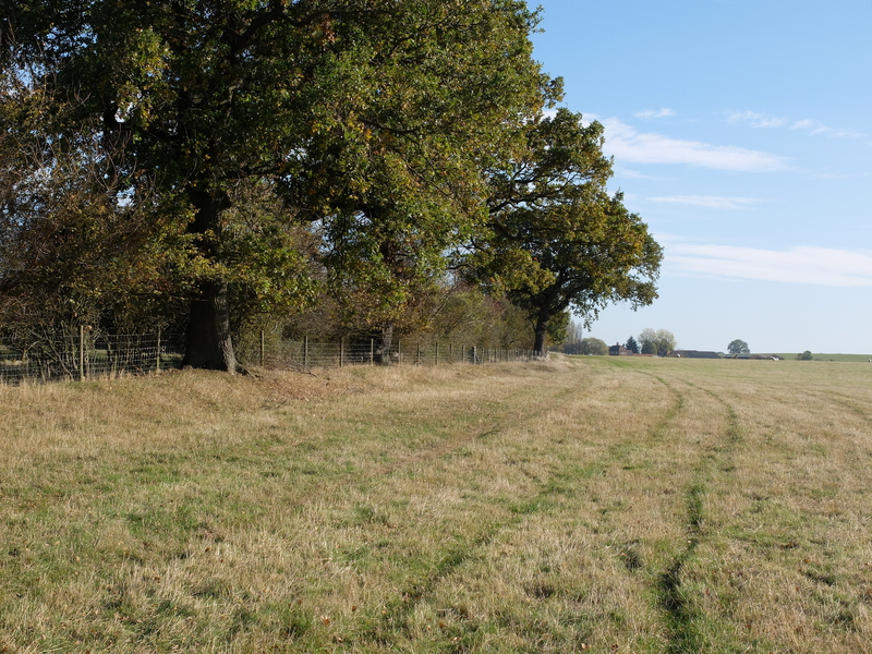
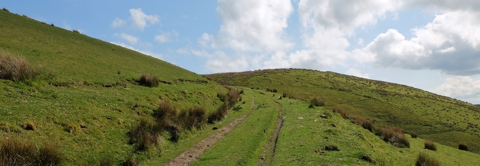
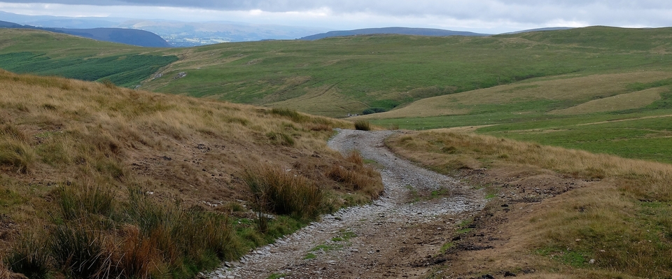
Next stop: railway tunnel. Finding it involves a wiggle into the field on the left, then it's broad skies (#5) all the way to Hill Farm1 at 421552. The last 200m looks like a road from 200 years ago.
(After Hill Farm the salt route becomes the farm drive, therefore uninteresting, leading to the A423. The other side of the road it starts promisingly enough then vanishes into scrub; we never found the route over the canal to the Priors Hardwick road. In other words, we got hopelessly lost.
(BUT we found the continuation of the route outside Priors Marston. Must admit the walk down to the village from SP 573468 is a bit bleak. And after PM, except for a short stretch up the Marston Hill near the Hollybush Inn, the old road had been tarted up and become part of the golf course. So we restarted outside Hellidon at 526582 and found a big surprise. The stretch "Hellidon to Badby" is under the Northants tab.)
1 We were told that Hill Farm was once a monastery. No idea if that's true.