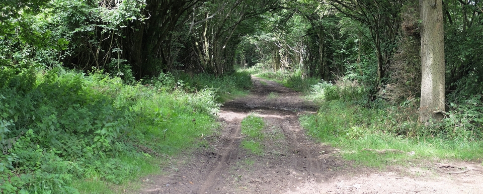
Hunscote Lane
Hunscote Lane, starting just east of Stratford-upon-Avon at SP 233544, is mentioned in 1669 rather excitingly as being part of ‘The road from Stratford to Southam'. Then we were told by John Bolton of Knightcote that it was part of the Roman salt road from Droitwich. Salt was vital for preserving the meat of the beasts that had to be slaughtered at the beginning of winter. (November was known as the ‘Blood Month'.)
There were two salt roads, Upper & Lower. The Lower went south through the Cotswolds to Cirencester and the Hampshire coast; the Upper went eastwards to the Lincolnshire coast, for salting cod & herring. But every so often a tributary would branch off to supply a local or important need: there were branches to the cattle-towns of Southam & Northampton. The most important branch of all was to Towcester, where it joined Watling Street and the way to London.
That is all I know about salt roads, bar the fact that they were used by all kinds of traffic, drovers among them.
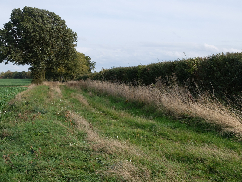
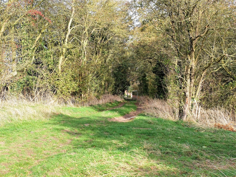
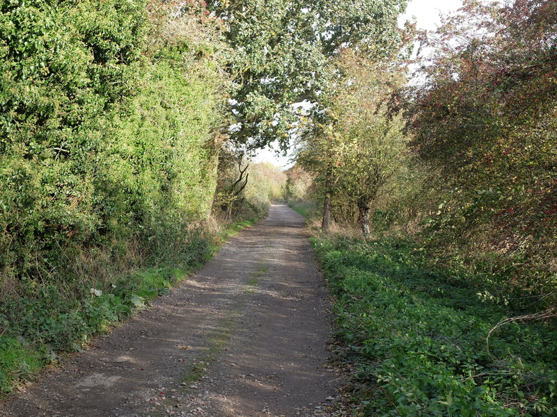
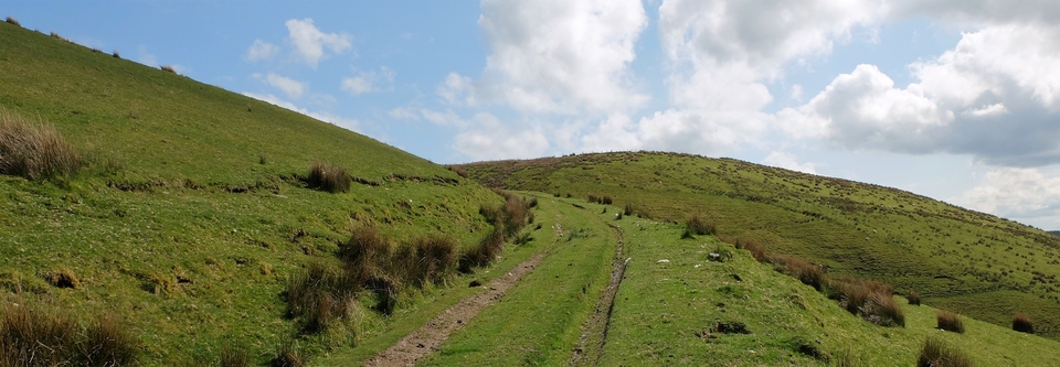
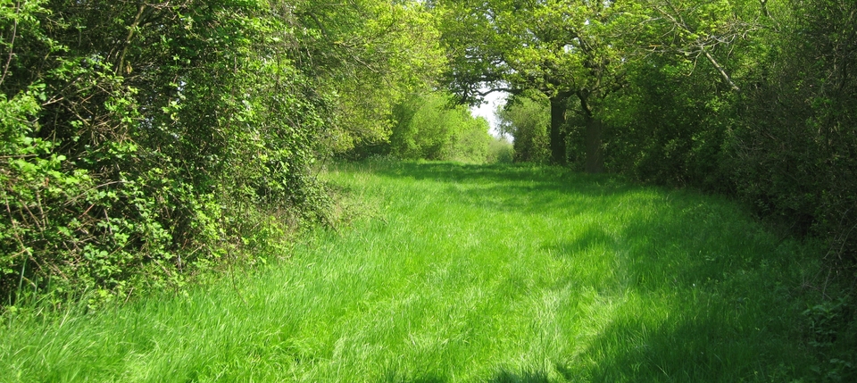
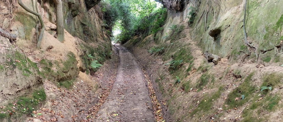
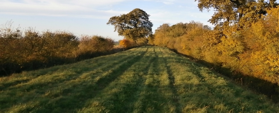
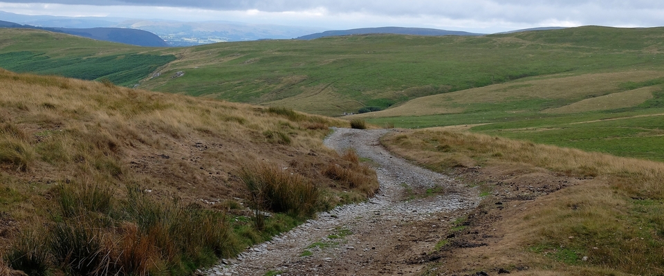
The route to Priors Marston from Stratford goes through one of the the loveliest and loneliest parts of England. (And they plan to put HS2 slap-bang through the middle.) There are major obstacles in the way already – Wellesbourne Aerodrome, the M40, a vehicle testing area and a railway line – so the route has to be done in sections, the first being Hunscote lane, which is where we started.
(If you walk it, go in the opposite direction, starting at Wellesbourne Aerodrome. There's a smashing café there, easy parking, and the lane marked “Hunscote” (a lost village) is just opposite. Also you'll save the best bit of the lane till last.)
We did the best bit first, as you can see from the pictures.