Hastoe to Cholesbury
HASTOE to CHOLESBURY
The path up to Hastoe, on a hilltop a mile south of Tring, was part of a toll-evasion route from Northampton or Dunstable down to Uxbridge and other markets west of London. One winter about 3 years ago I took the bike up to the village, pushing it most of the way, then rode along Browns Lane to Cholesbury through Shrubbs Wood. I came back via Shire Lane (which marks the boundary between Herts & Bucks) through Drayton Wood1.
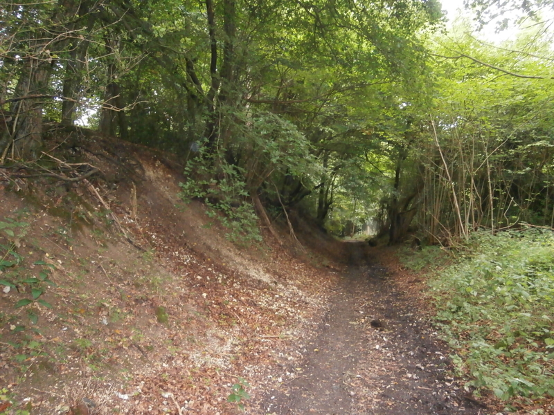
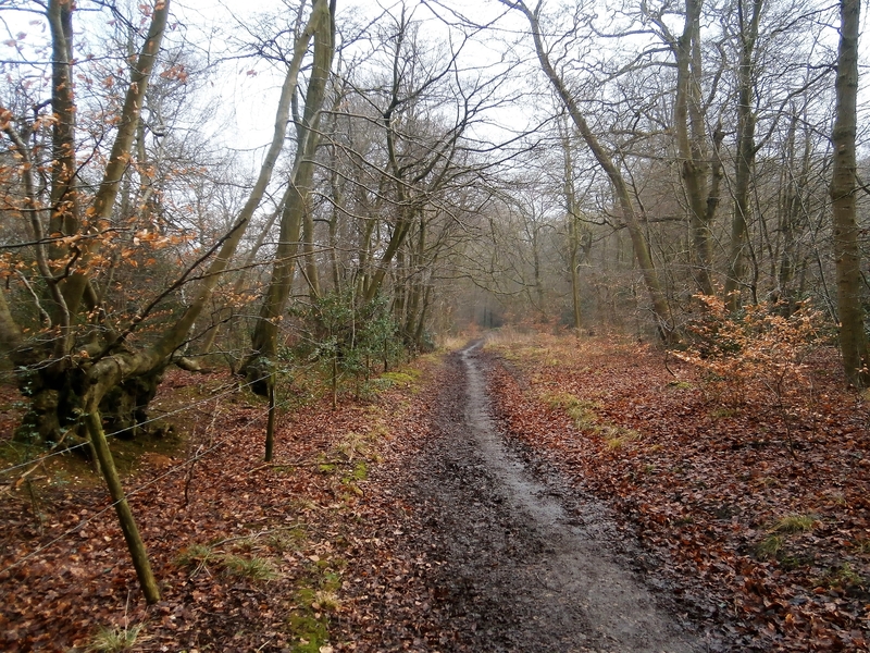
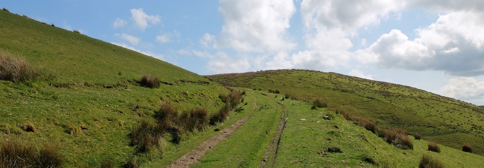
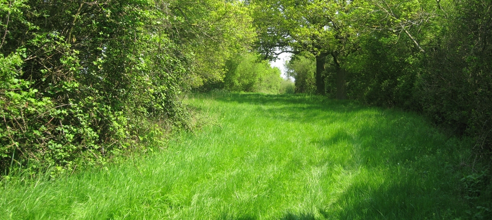
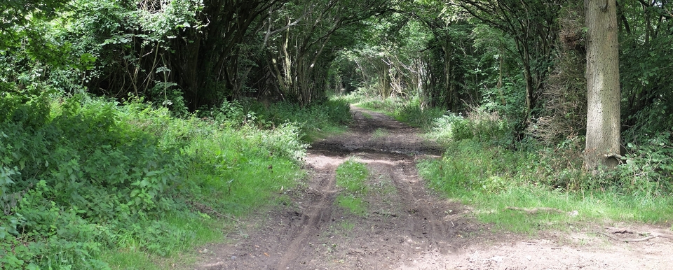
I started at West Leith Farm (SP 915104) and was almost immediately sunk in a holloway trodden by countless beasts (#1,2). It was lonely on top: the pine tree just after the right turn into Brown's Lane is probably coincidental, but it felt like a friend. The beeches in Shrubbs Wood (#3) were beautiful in winter; one day I must see them again in full leaf.
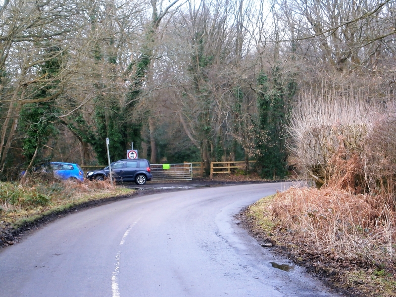
After the wood came the high village of Cholesbury, where I found a dewpond - it is chalk upland - thoughtfully placed amidst the 44 acres of common land (#4)2. Convenient for drovers as well as villagers. Andrew Mullis mentioned (2020) how important the St Leonards - Cholesbury - Hawridge upland was to droving, being at the crossroads of so many routes. It had, he says, 13 pubs at one stage (probably not all operating at the same time) to slake the thirst of a brickmaking industry as well as the itinerant drovers. The huge area of common grazing land either side of the road proves the presence of the beasts. It's well worth a visit to exercise the kids/dogs/legs. I took plenty of pictures on a foul day years ago and may put them up later on this page, even though Cholesbury is technically in Bucks.
(It's hard to believe how poor this village used to be before the Rothschilds arrived: a heart-breaking account appeared in, of all places, the Cornwall Royal Gazette of April 12 1844. Eleven years earlier the Poor Law Commissioners had described Cholesbury as the most “impoverished, destitute & helpless parish in England” – 101 out of the population of 139 were ‘paupers'. Landowners, faced with tenants too poor to pay rent, abandoned their property; the parish officers had despaired and it was left to the vicar, H P Jeston, to solve the problem. Besieged by a delegation demanding help, for the next year he provided bread, potatoes & soup paid for by a few donations, the neighbouring parish of Drayton and his own meagre income. He spent days on foot and horseback gathering funds and seriously thought of leaving the parish, not because of the workload, but because his family were so distressed at the sight of so much poverty…
…but the Agricultural Employment Institution came to the rescue, bought 50 acres of arable and woodland and installed ten families on 3-4 acre allotments. Result ten years later: only 3 paupers. The vicar wrote again in 1844: “there is not a ragged or ill-dressed person in the parish.”)
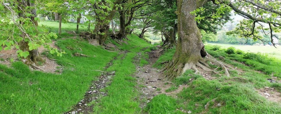
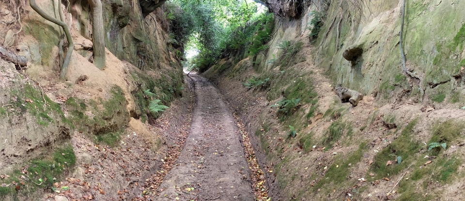
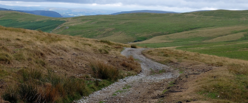
The way back along Shire Lane is tarmac but when you hit the old track at 914093 (#5) you are back in Holloway Country once more…
1 You can find more routes in the area on http://www.petes-walks.co.uk
2 There is also an iron age fort.